CRUISE MAP


View Cruise Destinations in a larger map
Showing posts with label Alaska. Show all posts

Saturday, 15 October 2011

Skagway and Ketchikan

Welcome back! In today's post I'll be showing you the remaining two ports in Alaska - Skagway and Ketchikan. I'm playing catch-up with this blog at the moment as we are now in the Caribbean, so there'll be more posts coming soon.

DSC_1636
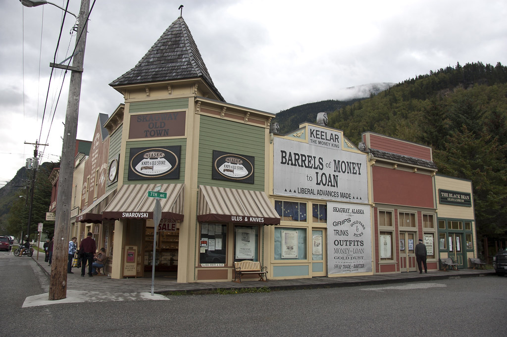
Above: Part of the main street in Skagway

Skagway is a small town on the Alaska Panhandle. As of the 2000 census, the population of the city was 862 but the population doubles in the summer tourist season in order to deal with more than 900,000 visitors.
DSC_1278
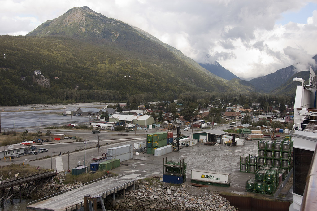
Above: Skagway from the ship

The port of Skagway is popular with cruise ships, and even at the end of the season when I visited, there were four ships in port. One of the most popular attractions is the White Pass and Yukon Route narrow gauge railroad, part of the area's mining past, which is now in operation purely for the tourist trade.
DSC_1523
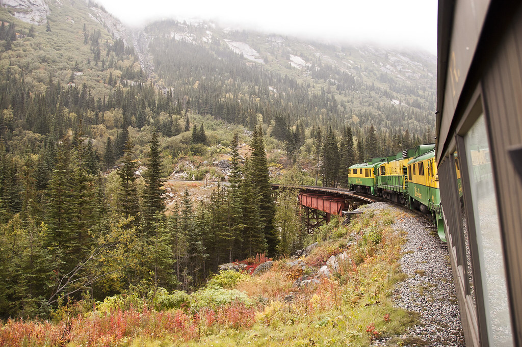
Above: White Pass and Yukon Railway

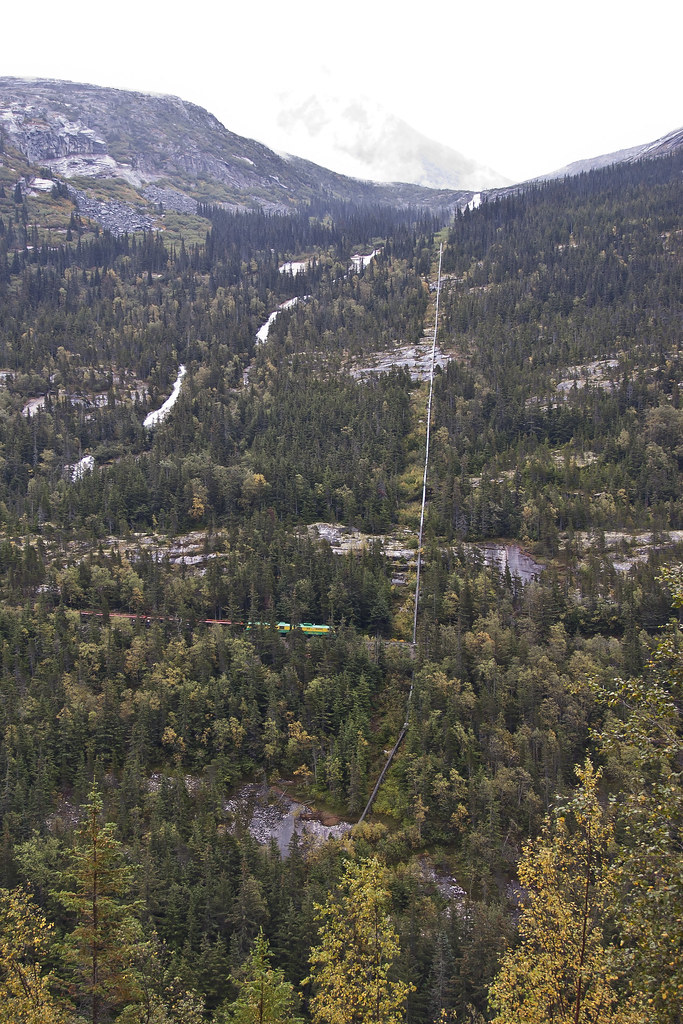
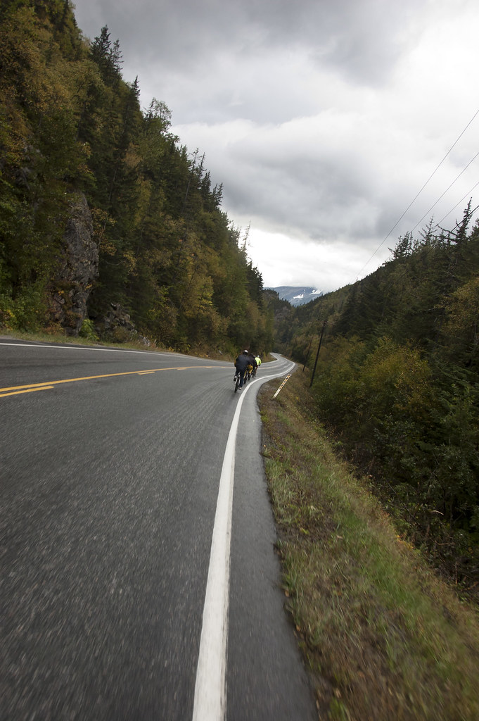
Whilst in Skagway I took the 'White Pass and Bike' tour which saw me first board the narrow-gauge railroad for a scenic ride through the coastal mountains to Fraser Station in British Columbia. There we met the guides who set us up with bikes to cycle down from the summit to the sea. It was a fun way to see the beautiful border region of Alaska and Canada even if the weather wasn't great!
DSC_1587
Above: The view across the valley - can you see the White Pass Train?
DSC_1602
Above: Biking down the mountain

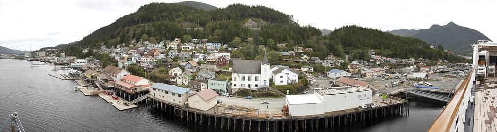
Ketchikan - named after Ketchikan Creek, which flows through the town - was the third port we visited in Alaska. It is the fifth most populous city in Alaska and with an economy based upon tourism and fishing, the city is known as the 'Salmon Capital of the World'.
Ketchikan_Panorama
Above: A panoramic shot of Ketchikan from the Zuiderdam
DSC_1717
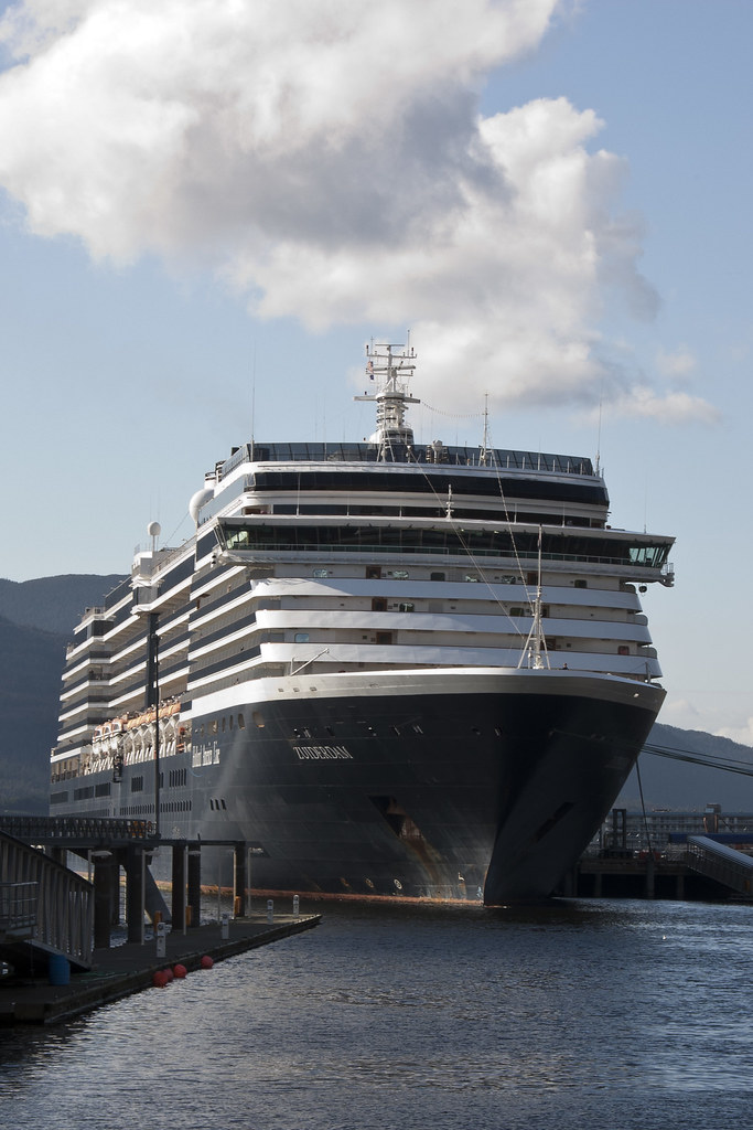
Above: The Zuiderdam docked in Ketchikan

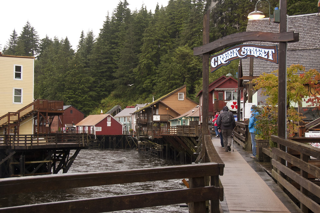
The town has a lot of character, especially around the more historical districts such as Creek Street - the town's old red light district.
DSC_1385
Above: Creek Street

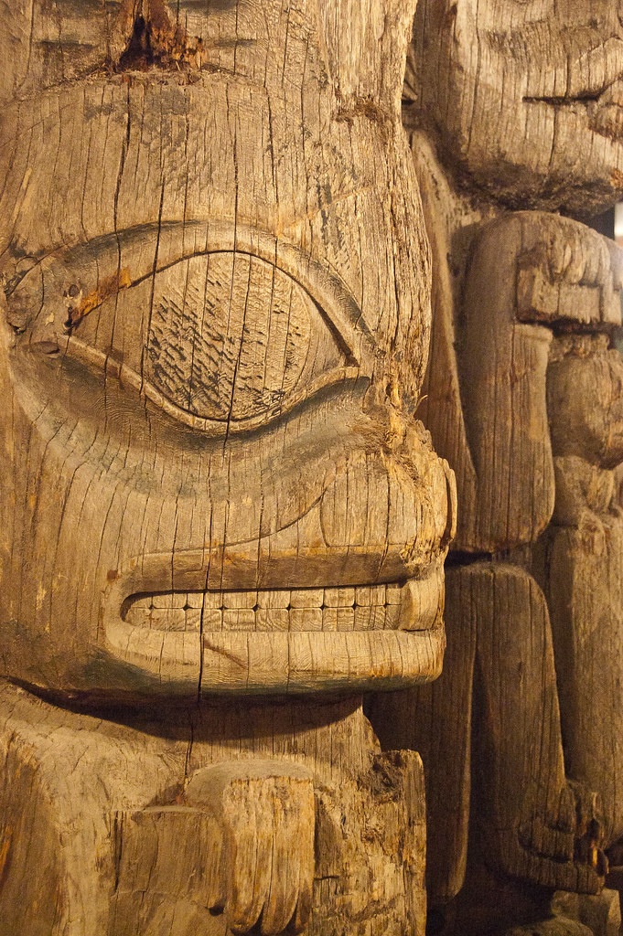
Ketchikan also has the world's largest collection of standing totem poles, found at three major locations: the City of Saxman, Totem Bight State Park, and the Totem Heritage Centre. I visited the Heritage Centre to see some of the poles for myself.
DSC_1350
Above: Totem Poles!

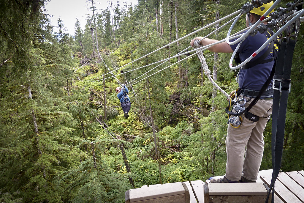
I had the opportunity to go zip-lining as a crew escort with passengers (always funny to see how terrified some of them are). The experience was similar to the zip-lining I had done in Roatan and Belize but I still find Go Ape in the UK more fun as there, you are responsible for clipping yourself in!
P1040056
Above: Ziplining in Ketchikan

P1040048
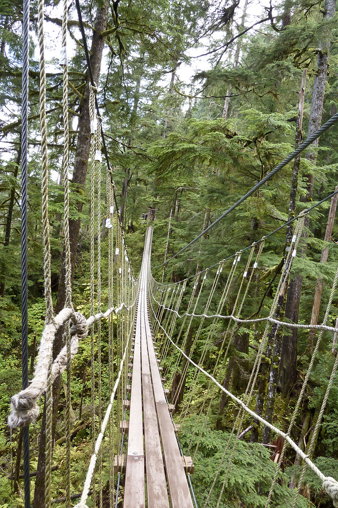
Above: The zip line course also had a suspension bridge and a mountain slide!

Thanks for reading and I'll be back with some great posts from our repositioning cruise soon: San Diego, Mexico and of course, the Panama Canal!

Monday, 26 September 2011

Juneau, Alaska,

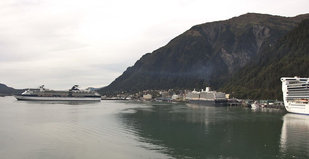
Welcome back to my blog. In today's post I'll show you around Juneau, one of three ports which we stopped at in Alaska. Juneau is the capital of Alaska, and has been since 1906. Downtown Juneua is nestled at the base of Mount Juneau and across the channel from Douglas Island.

DSC_1431
Above: Downtown Juneau from the ship

The city is named after gold prospector Joe Juneau. One of the most interesting things about the city is that is only accessible by sea and air. Cars and trucks have to be transported to and from Juneau by barge or ferry.

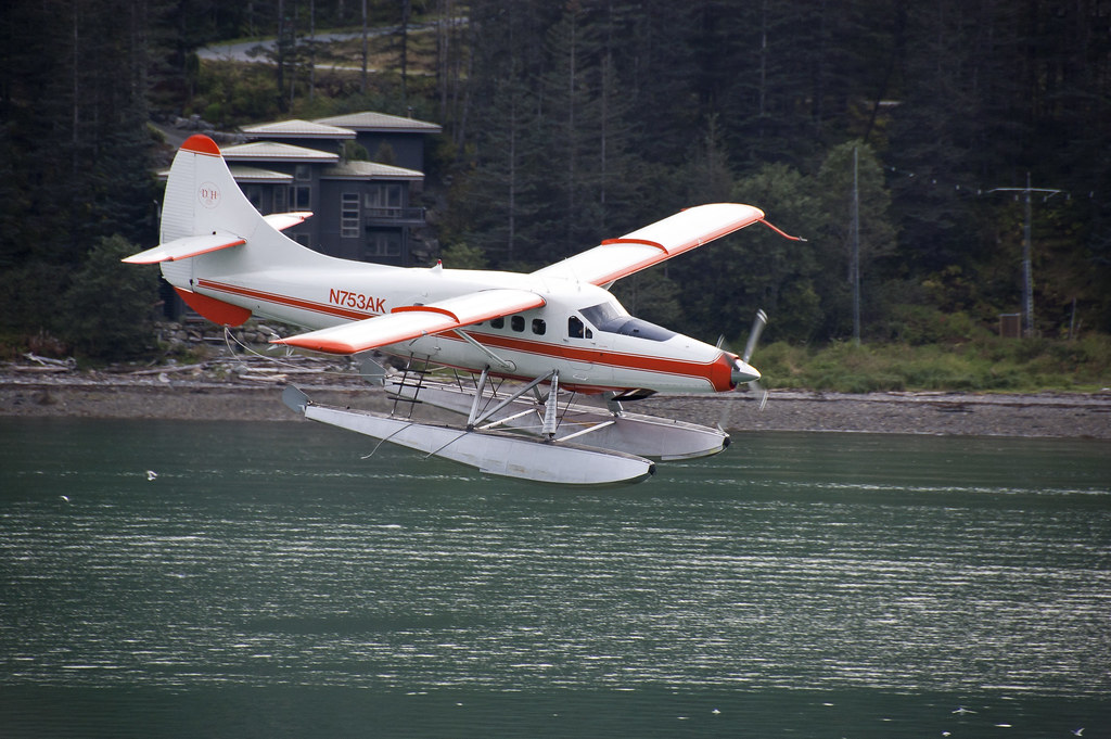
DSC_1416
Above: One of the many floatplanes found in Alaska

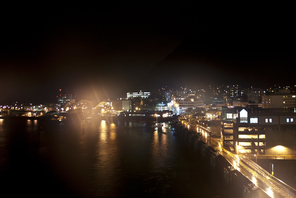
DSC_1859
Above: Juneau at night

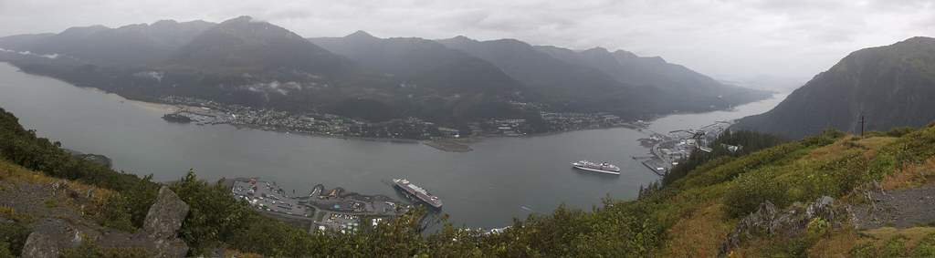
One of the most popular places in Juneau is The Mount Roberts Tramway, an aerial tramway stretching from a station on the cruise ship docks to a point on the southwestern ridge of Mount Roberts.

Juneau_pan
Above: The view from The Mount Roberts Tramway

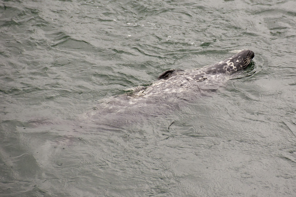
During my time in Juneau I also visited a salmon hatchery where wild Harbor Seals are known to hang out.

DSC_1742
Above: A regular visitor to the Salmon Hatchery

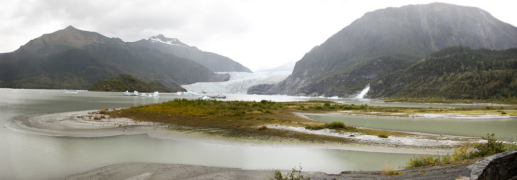
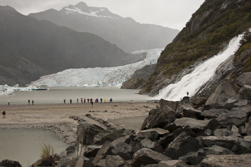
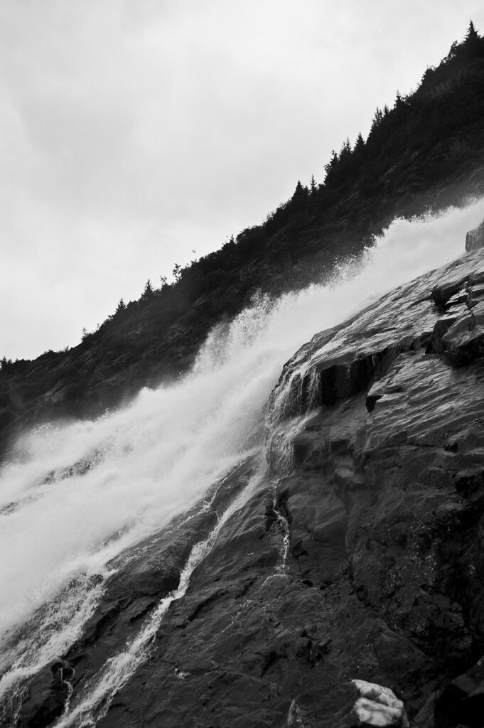
Probably the most famous attraction in Juneau is the Mendenhall Glacier, a receding Glacier found to the west of downtown Juneau. Visitors can also visit nearby waterfalls and the visitor centre.

Mendenhall_Glacier
Above: The Mendenhall Glacier Valley

DSC_1786
Above: Mendenhall Glacier and waterfall

DSC_1809
Above: An up-close shot of the waterfall

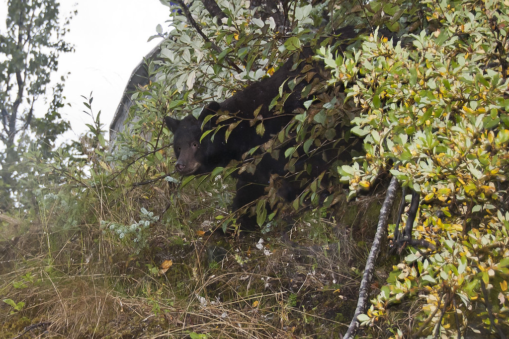
I was incredibly fortunate to see a black bear on my way back to the visitor centre at the Mendenhall Glacier. The bear was happily foraging for roots right by the pathway and had attracted a lot of attention. The guides told us she was a regular to the area and probably about 6 years old.

DSC_1848
Above: The black bear

I'll show you around Vancouver next time. It's a beautiful city so don't miss it!

Thursday, 22 September 2011

How I Got Here!

A quick little post before I show you some Alaska wildlife! Here are some photos from my journey to Vancouver.

P1040019_1
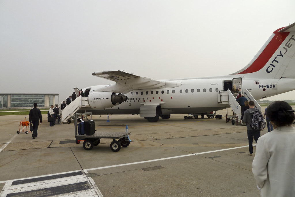
Above: London City Airport to Amsterdam. Took about 1 hour.

P1040020_1
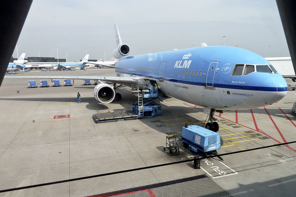
Above: My plane for Amsterdam to Vancouver. Took considerably longer...

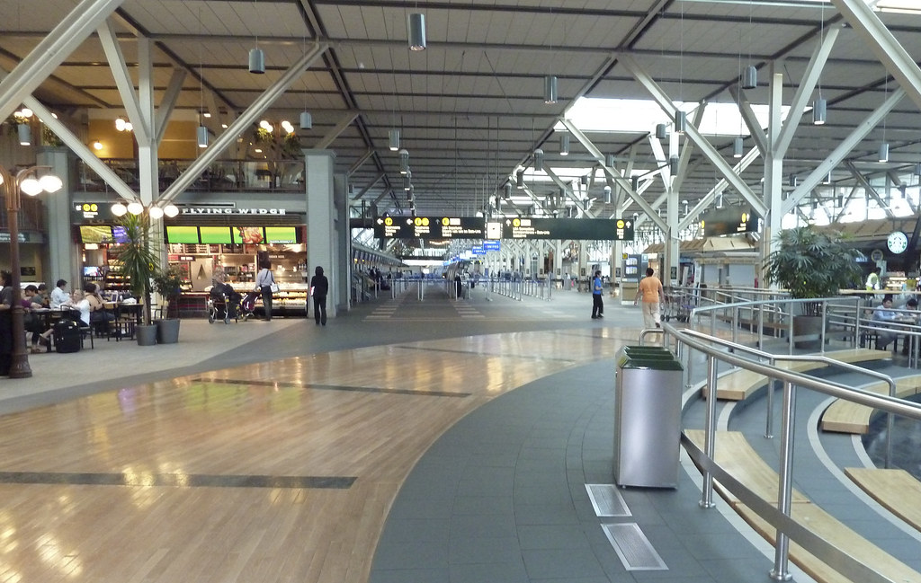
P1040036_1
Above: Vancouver International Airport. Very nice airport!

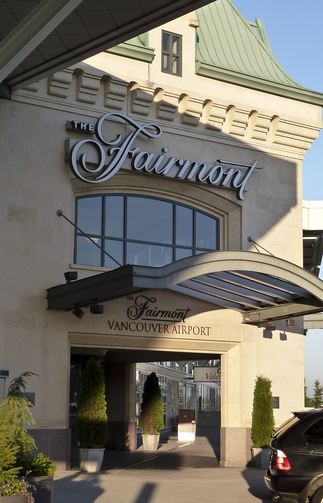
P1040038_1
Above: Fairmont Vancouver Airport Hotel.

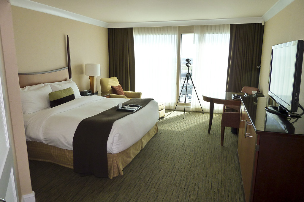
P1040021_1
Above: My room at Fairmont. Very posh! And that is a telescope you can see standing by my window.

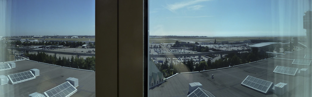
VancouverAirportFromFairmontPan
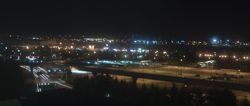
Above: The view from my room - looking straight out over the runways.

DSC_1200
Above: The view at night. Next time: Juneau!

Sunday, 18 September 2011

Scenic Cruising in Alaska

Welcome back to my blog! I've now been cruising in Alaska for just over two weeks and we'll be heading south a week today, bound for the Caribbean. Today I'll show you some of the spectacular views which we have seen from the ship, during 'scenic cruising' of Tracy Arm Fjord and Glacier Bay.

Alaska Panorama #1
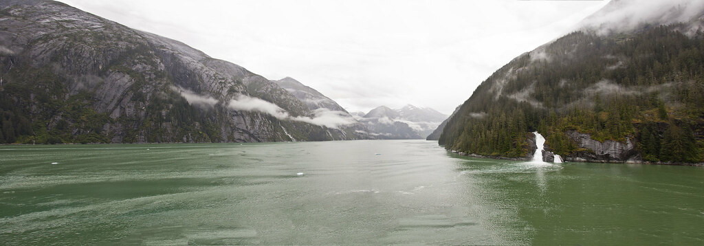
Above: A panorama of Tracy Arm Fjord

Tracy Arm Fjord is a popular route with Cruise Ships, located southeast of Juneau on the Inside Passage. It is a glacial valley with the Sawyer Glaciers located at either end. Approximately 23 miles long, our ship the Zuiderdam only sails part of the route but the views are nevertheless impressive.

DSC_1230
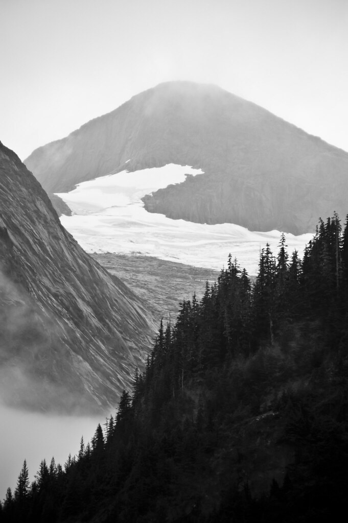
Above: Some of the scenery is quite dramatic

DSC_1402
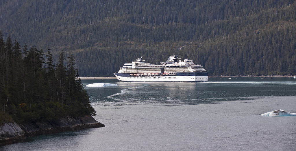
Above: The Inside Passage is popular with cruise ships

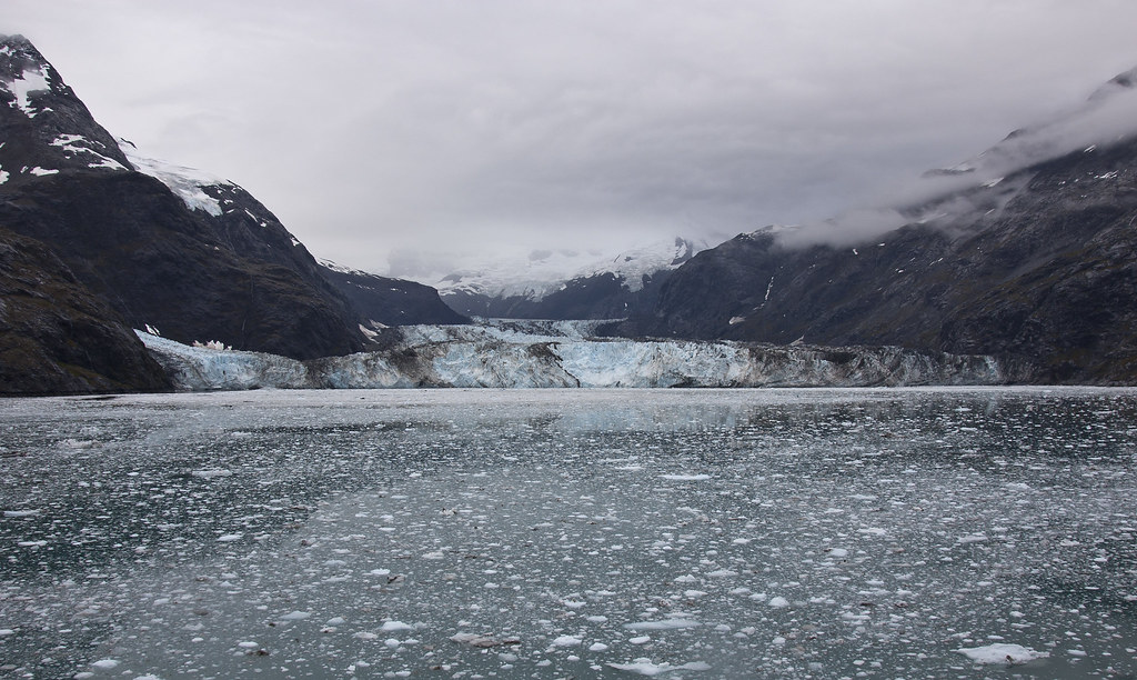
One of the biggest draws for passengers is Glacier Bay which forms part of the Glacier Bay Basin, designated a National Park in 1980. It is also the world's largest UNESCO protected biosphere, declared so in 1986. Glacier Bay was a large single glacier until the early 18th century when it began retreating, leaving 20 separate glaciers in its wake.

DSC_1672
Above: John Hopkins Glacier

The John Hopkins Glacier you see above has a width of 1 mile with a depth of 250 feet, also rising 250 feet above sea level. It stretches 12 miles upstream and is the largest tidewater glacier in Glacier Bay. The inlet is closed to boats during the Summer months to protect unweaned harbor seal pups so we were lucky to see it!

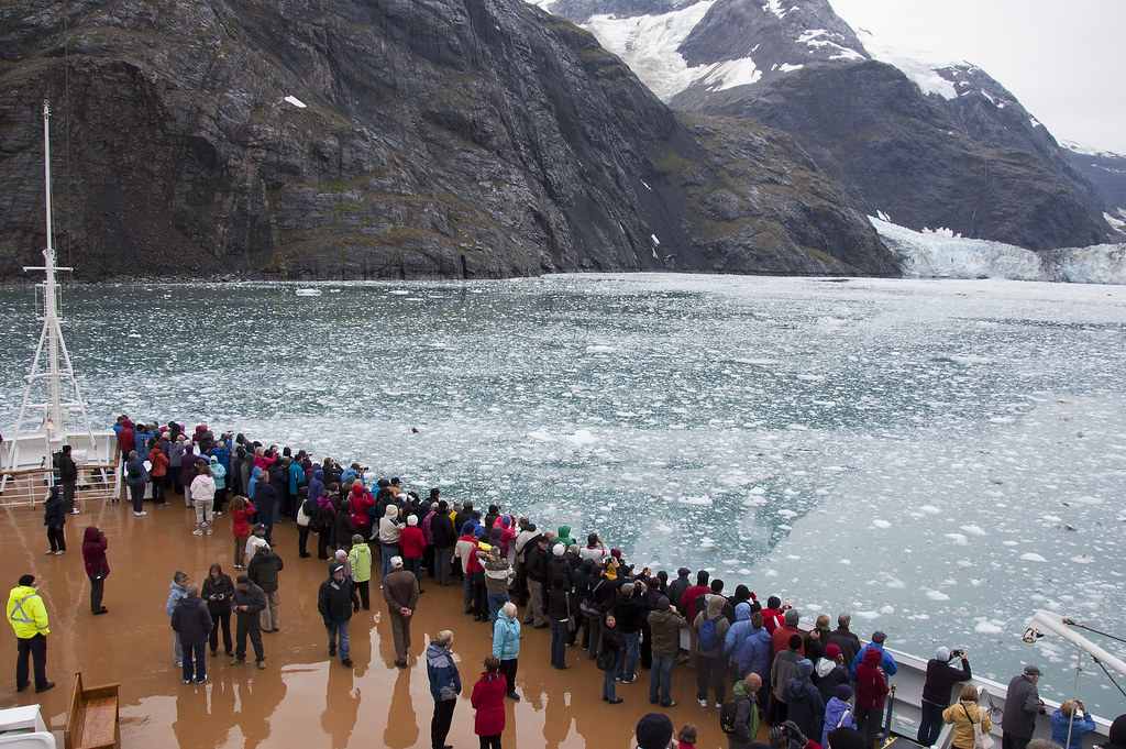
DSC_1673
Above: Passengers watching the John Hopkins Glacier from the bow of the Zuiderdam.

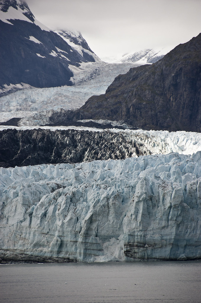
Another glacier which see saw in Glacier Bay was the Margerie Glacier, a 2l mile long tide water glacier that begins on the south slope of Mount Root. It is located at the deep end of Glacier Bay.

DSC_1301
Above: The Margerie Glacier

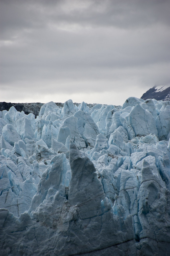
DSC_1307
Above: Close-up of the Margerie Glacier. These chunks of ice frequently 'carve' (break off) but I haven't seen it happen yet!

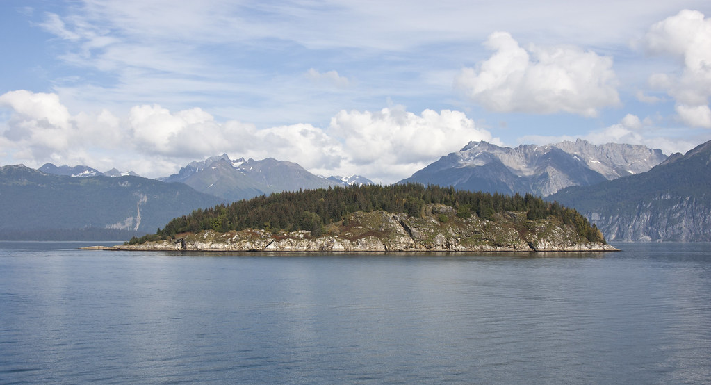
I'll leave you with a shot of one of the islands in the Inside Passage. I saw a whale near here last week (but sadly without my camera). Next time I'll show you some of the ports in Alaska.

DSC_1328
Above: An island in the Inside Passage