CRUISE MAP


View Cruise Destinations in a larger map

Sunday 27 February 2011

Belize City and Xunantunich Mayan Ruins

Welcome back! Today I’ll show you around the Fort Street Tourism Port of Belize City and also take you to the Xunantunich Mayan Ruins, about 80 miles west of Belize City.

Belize_City_Terminal
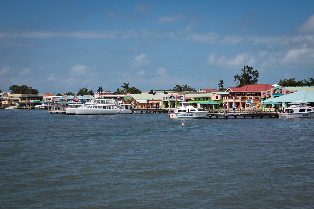
Above: Fort Street Tourism Port

Belize (formerly British Honduras) is a democratic constitutional monarchy, and the northernmost Central American nation. Belize has a diverse society, comprising many cultures and languages and is the only country in Central America where English is the official language (although Kriol and Spanish are also spoken among the population). Belize is bordered to the north by Mexico, south and west by Guatemala, and to the east by the Caribbean Sea.

Belize_Ships
Above: Belize City is a popular destination for cruise lines

Belize City is the largest city in Belize with an estimated population of 79,600. It is located at the mouth of the Belize River on the coast of the Caribbean and is divided into two areas: Northside (the Caribbean side where we tender) and Southside (the Central American side). The city is the country's principal port and its financial and industrial hub and was the capital of British Honduras (as Belize was then named) until the government was moved to the new capital of Belmopan in 1970.

Waterfront_Path
Above: The waterfront path at the Fort Street Tourism Port

Terminal_Belize
Above: One of the terminal buildings at the Fort Street Tourism Port

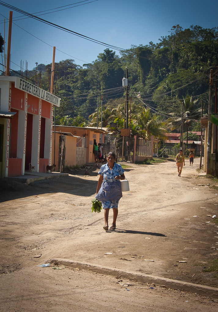
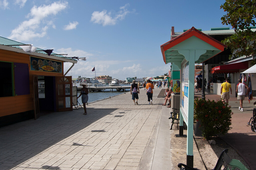
The tourism port is a safe place for cruise ship passengers to shop and dine but it in no way reflects the true atmosphere of Belize City. Outside of the terminal gates, people are friendly but very needy and tend to hassle passengers who venture outside.

Terminal_Gates
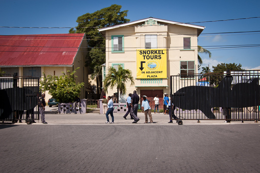
Above: Looking beyond the terminal gates

A shore excursion is a great way to see more of the city as you pass through on your way to your destination. I acted as a crew escort for a tour to the Xunantunich Mayan Ruins a few weeks ago and had a great time.

Belize_Buses
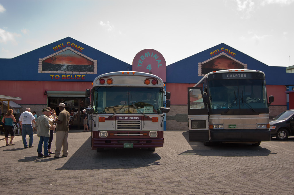
Above: Some of the buses that take guests on shore excursions

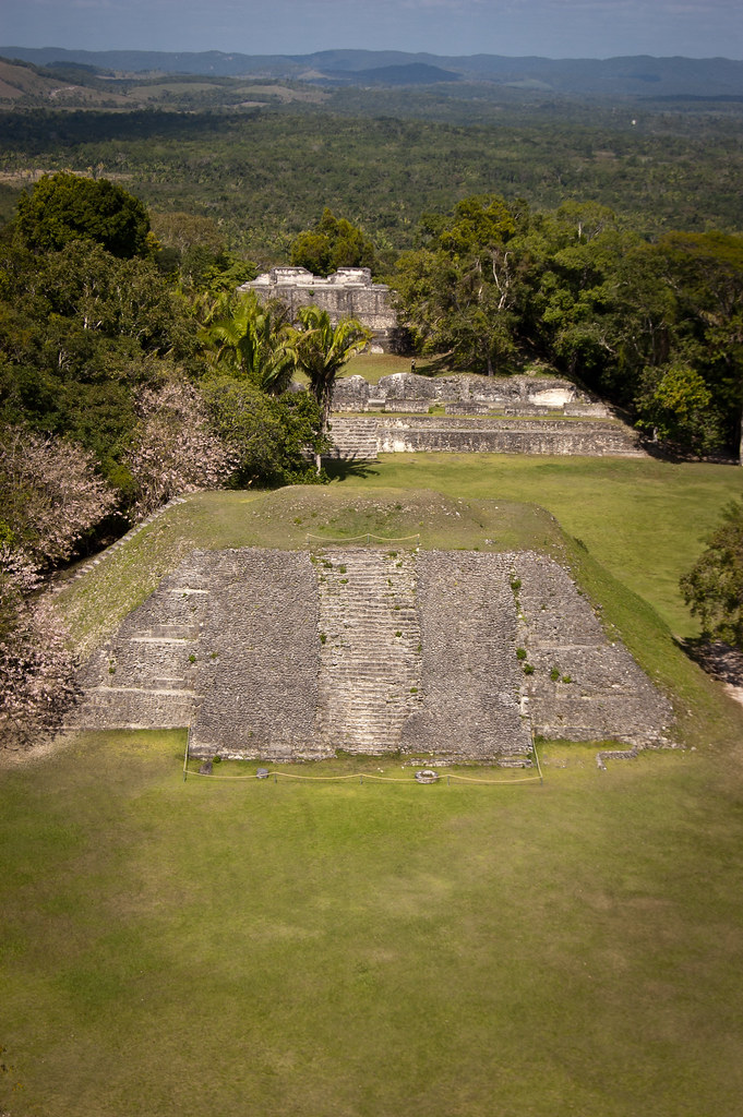
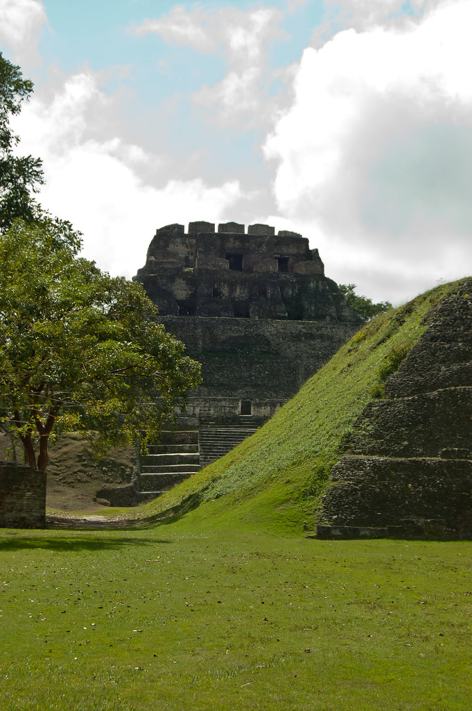
Xunantunich is located atop a ridge above the Mopan River, within sight of the Guatemala border. Its name means "Stone Woman" in the Maya language and, like many names given to Maya archaeological sites, is a modern name; the ancient name is currently unknown.

View_from_Castillo
Above: View from the Castillo at Xunantunich

Most of the structures at Xunantunich date from the Maya Classic Era, about 200 to 900 BC. There is evidence that some structures were damaged by an earthquake while they were occupied; this earthquake may have been a reason for the site's abandonment.

Before we could reach Xunantunich we had to cross a river on a manually operated raft which transports minibuses as well as people!

X_Raft
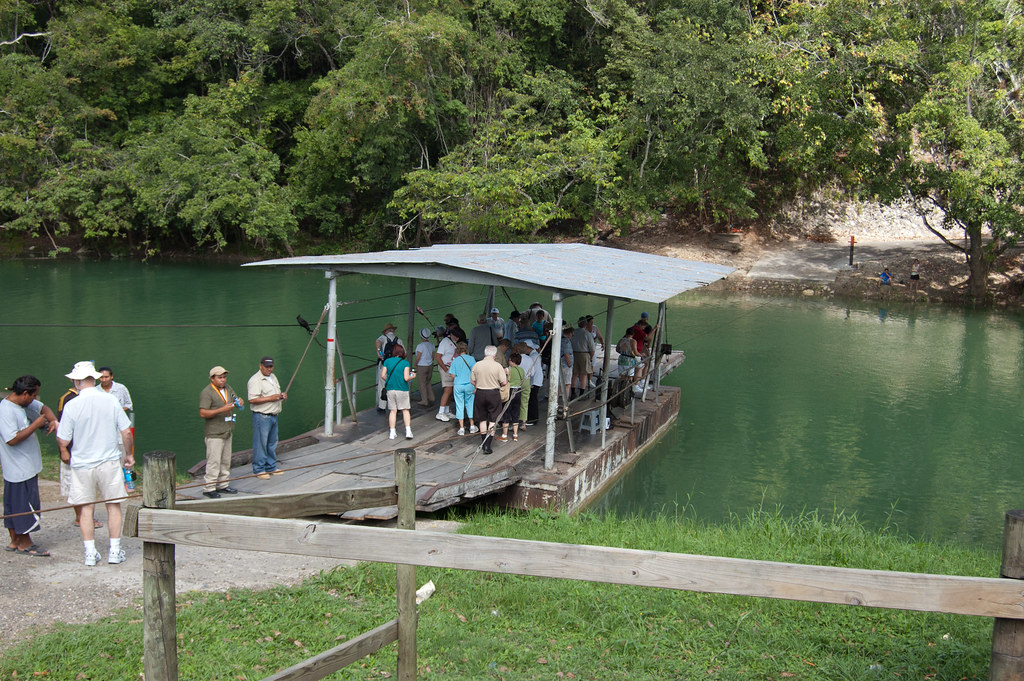
Above: The raft to take passengers to Xunantunich

X_Chameleon
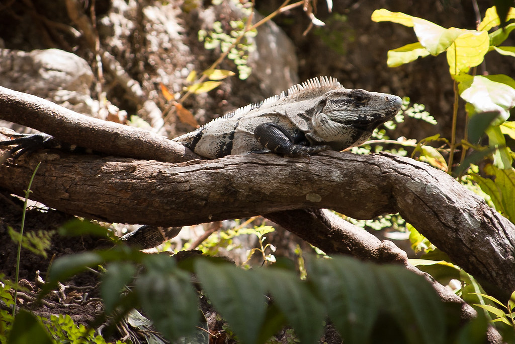
Above: After crossing the river, I spotted a lizard close by

The core of Xunantunich occupies about one square mile, consisting of a series of six plazas surrounded by more than 26 temples and palaces. One of its structures, the pyramid known as "El Castillo" is the second tallest structure in Belize (after the temple at Caracol), at some 130 feet tall.

El_Castillo_X
Above: El Castillo

Evidence of construction suggests the temple was built in three stages in the 7th, 8th, and 9th centuries. The fine stucco or "frieze" are located on the final stage and a fibreglass replica now covers the original carvings to preserve them from the elements.

Stucco_X
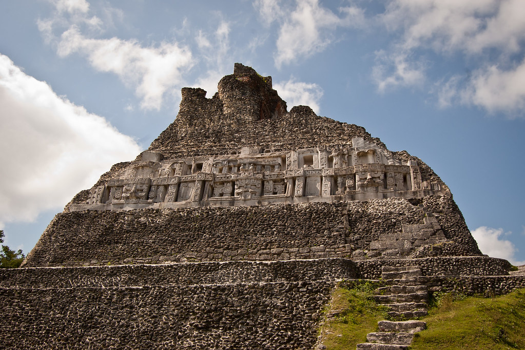
Above: Fibreglass replica of the original stucco on El Castillo

You can climb to the very top of El Castillo (a lot of steps) and the view is pretty amazing. I’ll leave you with a shot of me at the top and a panorama of the view. Thanks for reading and speak soon!

Me_on_El_Castillo
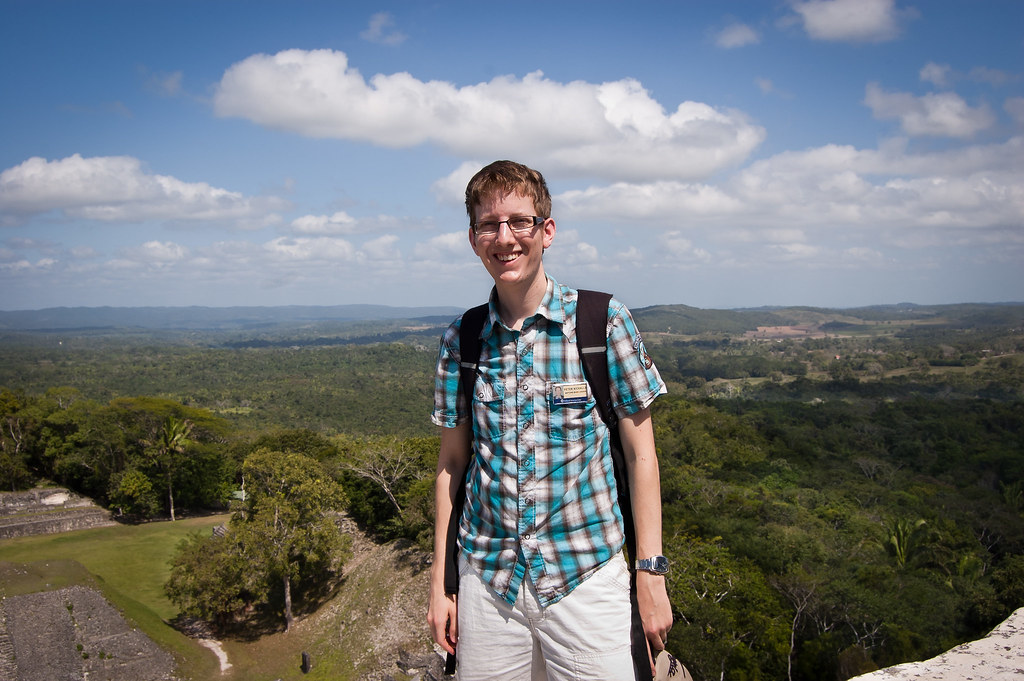
Above: Me at the top of El Castillo

El_Castillo_View
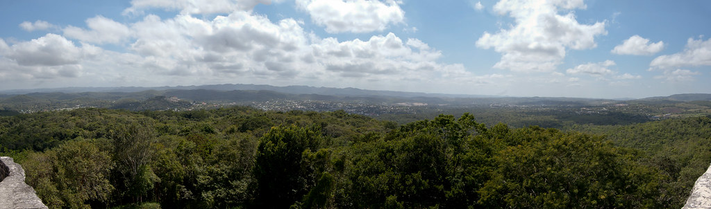
Above: View from the top of El Castillo. Click for a bigger picture.

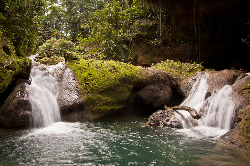
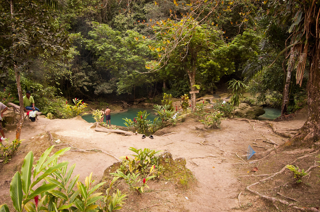
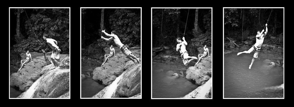
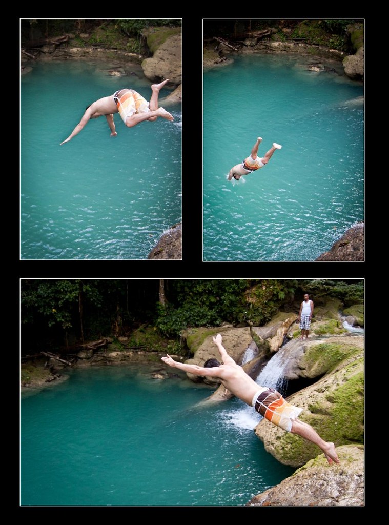
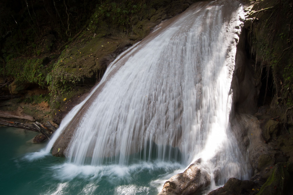
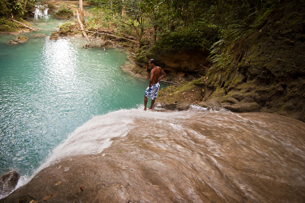
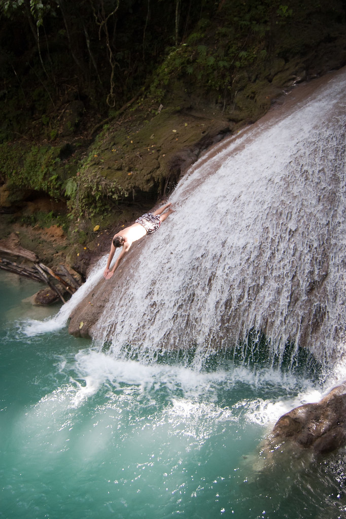
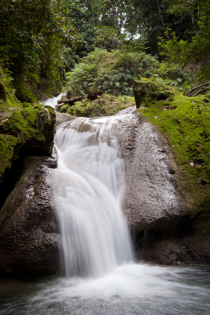
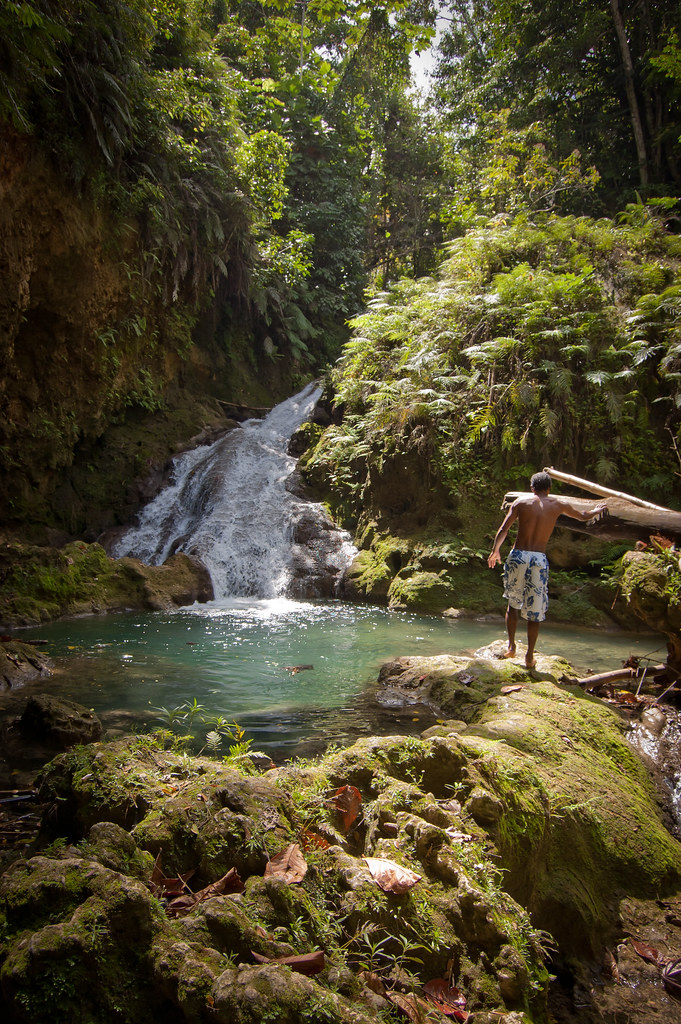
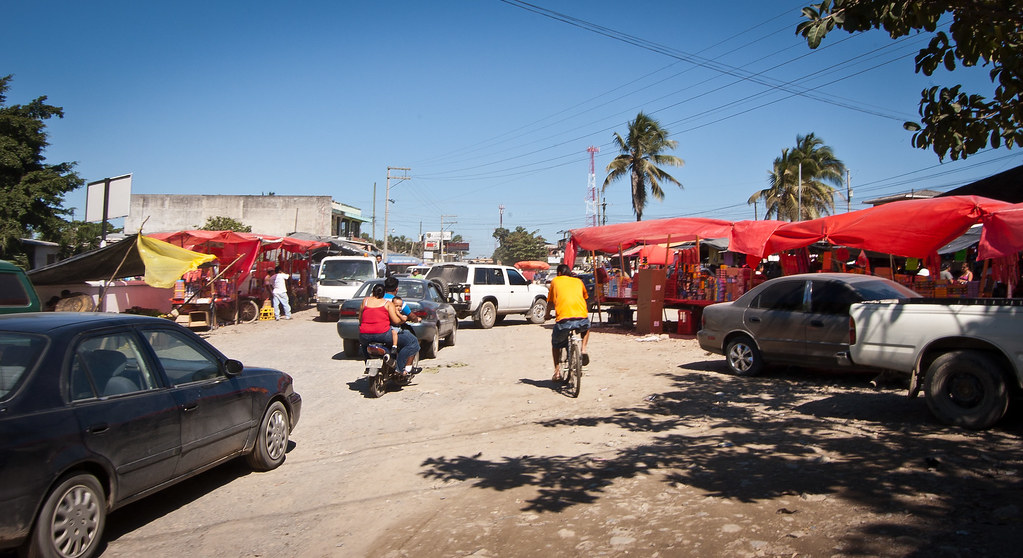
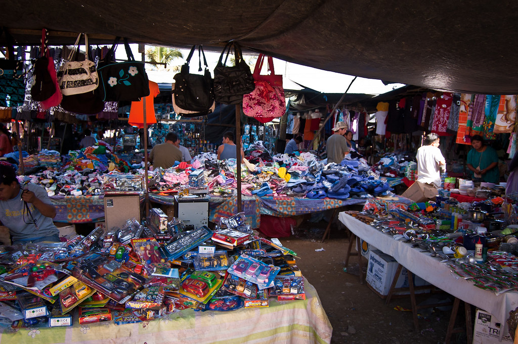
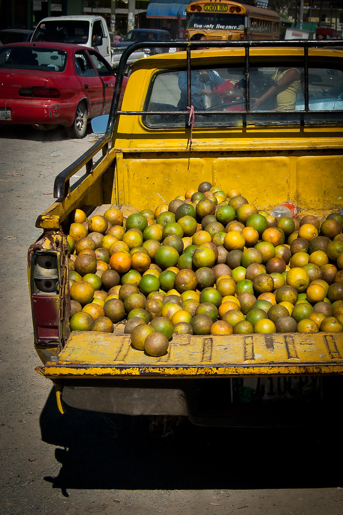
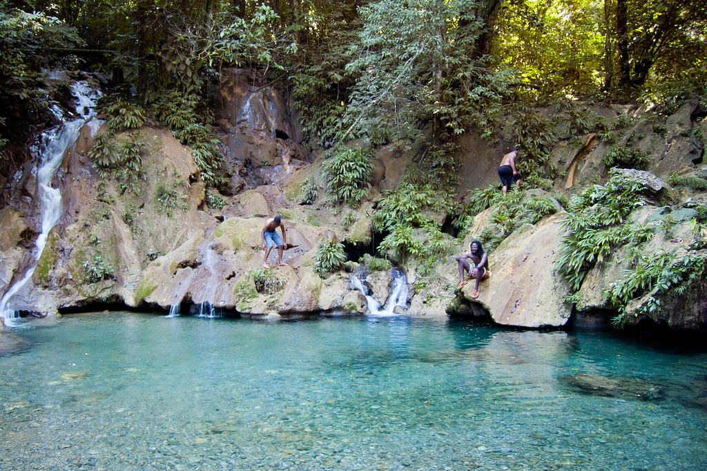
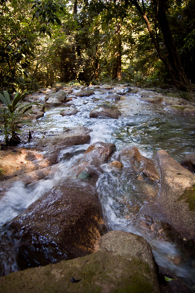
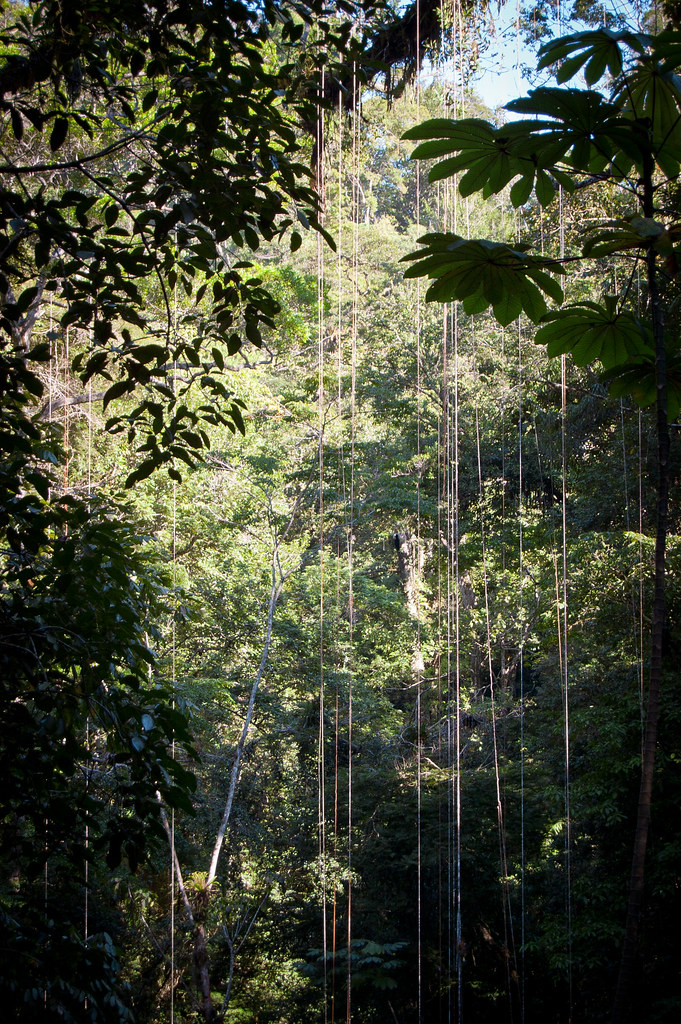
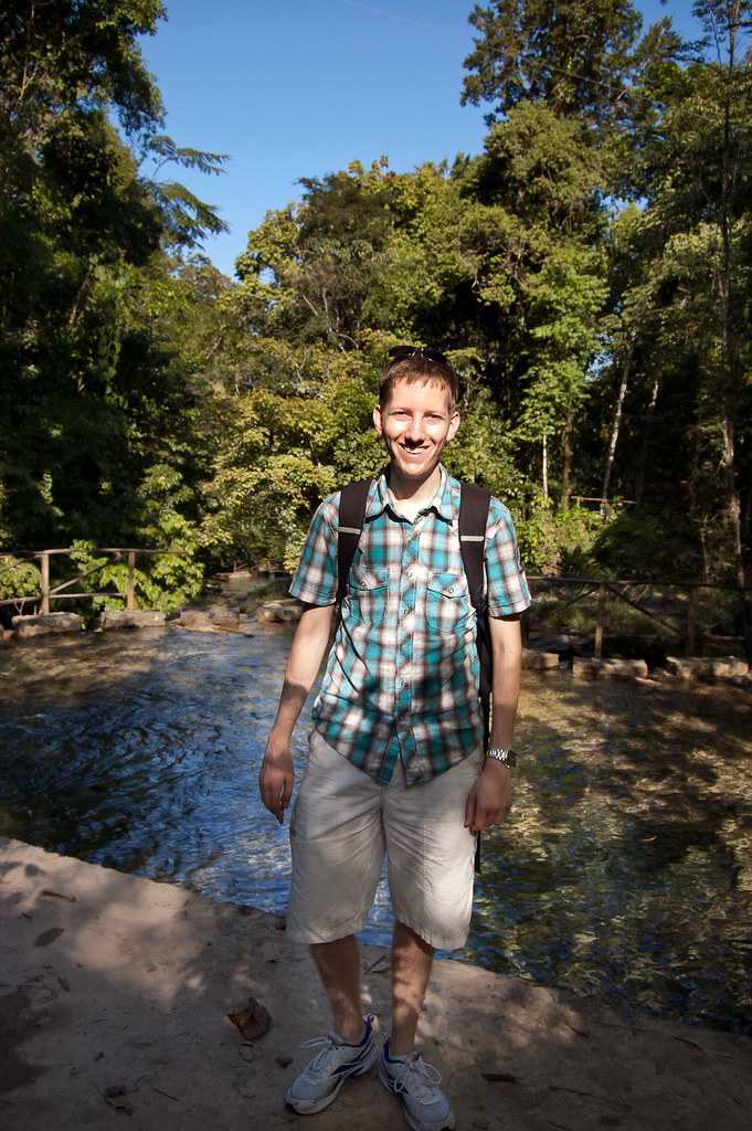
UPDATE: New shots of Belize City and a video and picture from a HAL Tour Excursion: The Lost World - Canopy and Rapelling Tour.
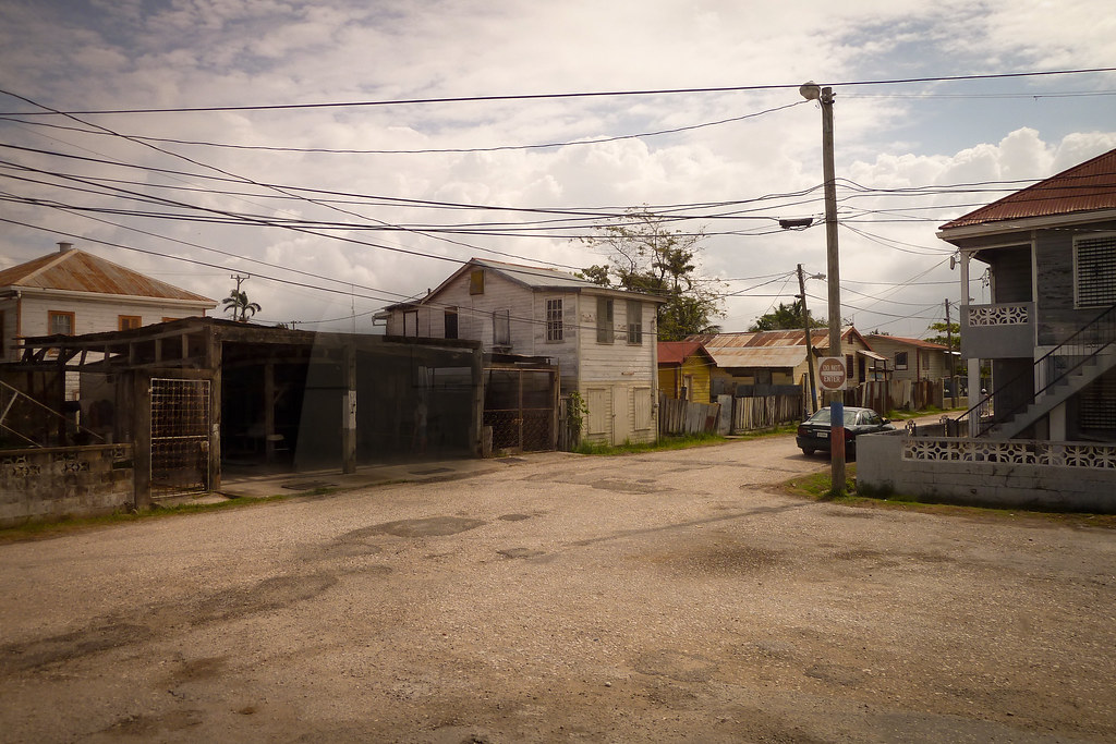
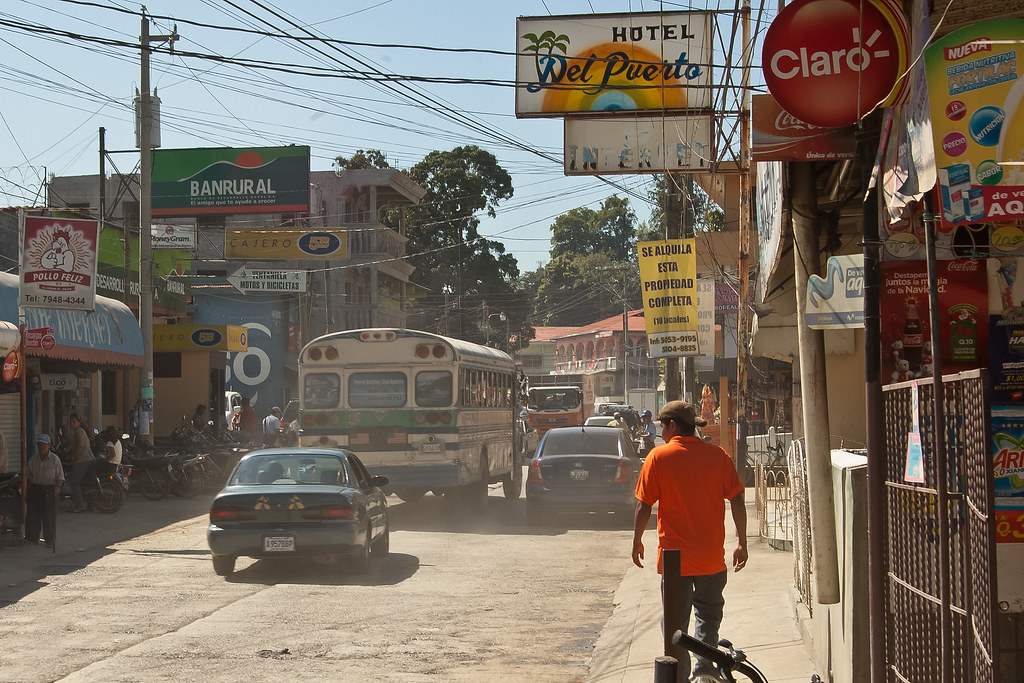
P1000466
Above: Belize City

P1000507
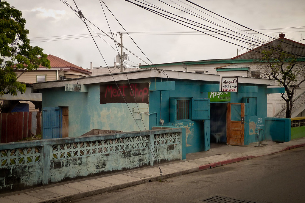
Above: Belize City meat shop

P1000504
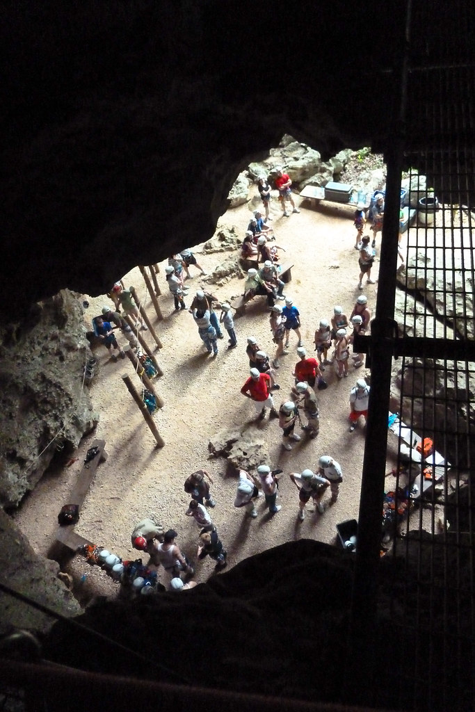
Above: Canopy and Rapelling Tour

Thursday 17 February 2011

The Blue Hole - Jamaica

UPDATE: Now includes awesome waterfall diving video at the end of the post!

In today’s post I’m going to take you to a beautiful location just outside of Ocho Rios, Jamaica. The Blue Hole is a well-kept secret amongst crew members and a location rarely frequented by tourists. A series of waterfalls and deep pools surrounded by lush jungle awaits visitors with local guides present to show you the routes and the best places to jump!

Blue_Hole_Two_Falls
Above: Some of the waterfalls higher up the path. The blurred water effect is achieved with a longer exposure and a tripod to ensure everything else is sharp.

The first area you come to features a number of waterfalls flowing into a deep pool.

First_Area_Blue_Hole
Above: The first location

The guides have created a rope swing and in the pictures below you can see Gregg - the solo guitarist from the Ryndam - swinging into action!

gregbluehole
Above: The rope swing modelled by Gregg

Greggbluehole2
Above: Gregg jumping in

After a short trek further up the path, you reach another area, featuring the largest waterfall at the Blue Hole.

Big_Waterfall
Above: The largest waterfall at the Blue Hole

A number of brave souls jumped off this waterfall but the tricky part was having to edge down the waterfall until there was enough clearance to avoid hitting the sloping rocks at the bottom.

Guide_&_Big_Waterfall
Above: One of the guides at the top of the waterfall

Tom_Jumping
Above: Tom, the Neptunes bass player takes a dive

Above this waterfall, you can walk up the river to a number of other small waterfalls and deep pools.

Portrait Falls Blurred
Above: Waterfalls higher up the river

The journey up the river concludes at this final waterfall which is not climbable. All the pools you see in the pictures are very deep as the falling water carves out the rocks at the bottom of the falls.

Guide_&_Tall_Waterfall
Above: The guide at the top waterfall

Finally, we all returned to ‘base camp’ (the first location) where the guides had prepared food and drink for us. The tiny hut you see in this picture is the only building at the site; there are no facilities whatsoever which is part of the charm of the place.

Crew_at_Blue_Hole
Above: Some of the crew

I hope you enjoyed this post. Updates will be appearing a little more regularly now as I only have seven weeks left and still lots to blog about! Speak soon.

Tuesday 8 February 2011

Honduras and Guatemala - one week only!

Welcome back! In this post, I’ll give you a brief tour of two ports, not on our regular itineraries, which we visited over the Christmas week: Puerto Cortés, Honduras and Santo Tomás de Castilla, Guatemala.

Founded as the Villa de Puerto Caballos in 1524, Puerto Cortés has become the most important port in Central America thanks to its outstanding seaport infrastructure and proximity to U.S. seaports in the Gulf of Mexico and on the East Coast.

Puerto_Cortés_Port
Above: The port of Puerto Cortés

Because it was vulnerable to pirates until the building of the Spanish fort at Omoa in the 18th century, Puerto Cortés had few permanent residents in the 16th and 17th centuries. People preferred to come out to the coast from San Pedro when a ship came into port.

Puerto_Cortés_Ship
Above: A ship docked in Puerto Cortés

The original name Puerto de Caballos (‘Port of Horses’) came about because when Hernán Cortés arrived on Honduras' coast in 1524 from Mexico and started unloading horses and cargo from the ships, several horses were drowned. In 1869 Puerto Caballos changed its name to Puerto Cortés in honour of Hernán Cortés.

Puerto_Cortés_Cranes
Above: Cranes in Puerto Cortés

The second new destination we visited was the port of Santo Tomás de Castilla in Guatemala. It lies at Amatique Bay off the Gulf of Honduras and was settled originally by Belgians in the 19th century.

Santo_Port_Panorama
Above: A panoramic view of Santo Tomás de Castilla port (click for bigger picture)

The seaport of the city was built in 1976, after an earthquake had severely damaged the port of Puerto Barrios. Today it is among the busiest in Central America and expanding; the port currently employs 2,100 workers and in 2004, 4.56 million tons of trading goods went through the port from 1,372 ships.

Cargo_Containers
Above: Cargo containers at the port

In 2004, Santo Tomás de Castilla started receiving cruise ships. The cruise ship terminal was a tremendous boost for the Guatemalan tourism industry with four cruise ships a month making stops here. Cruise ship passengers visit Guatemala mostly for its Maya culture, spread throughout the country. Nearby attractions include Rio Dulce, Lake Izabal, the towns of Puerto Barrios, Livingston and San Felipe Castle, and the Mayan ruins of Quirigua.

I decided to visit the local town (not a tourist attraction!) which gave a real insight into the normal lives of Guatemala’s population.

Guatemala_Street
Above: The main street through the town

Guatemala_Woman
Above: A local resident

The town was very poor but everybody was friendly. There was a market taking place, selling all manner of goods including toys, fireworks and fruit!

Guatemala_Street_2
Above: A busy street with the market on both sides

Market_Toys
Above: Toys being sold at the market

Guatemala_Fruit
Above: Fruit ready to sell in the market

After exploring the town, a group of us decided to visit a local waterfall which involved a very bumpy taxi ride! The Cerro San Gil springs reserve is a place where the rainforest is protected and preserved with care and enthusiasm. After paying an entry fee a local guide showed us around.

Guatemala_Waterfall
Above: People climbing the waterfall

Guatemala_Stream
Above: The view in the opposite direction

Whilst at Cerro San Gil, we saw a bat cave (there are 45 species of bat here), banana trees, lizards and butterflies (Guatemala has over 1000 species of butterfly where Europe only has 321 species).

Guatemala_Vines
Above: Vines!

The trees in this rainforest have tall and straight trunks to try and reach sunlight. Their roots do not penetrate far into the ground, spread on the surface of the earth to absorb the nutrients in the leaves and rotting branches on the forest floor.

I’ll leave you with a rare shot of me (!) at Cerro San Gil. I hope you enjoyed this post about Puerto Cortés, Honduras and Santo Tomás de Castilla, Guatemala. Speak soon!

Peter_Guatemala