CRUISE MAP


View Cruise Destinations in a larger map

Wednesday 29 February 2012

Antigua

Hello again and welcome back! Today, I'll show you around some of Antigua, the main island of the country of Antigua and Barbuda.

claptonhouseandseapan
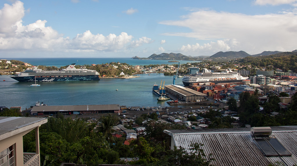
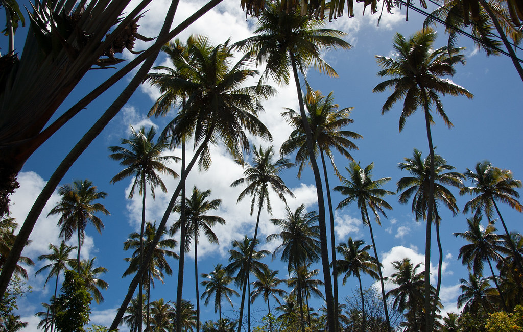
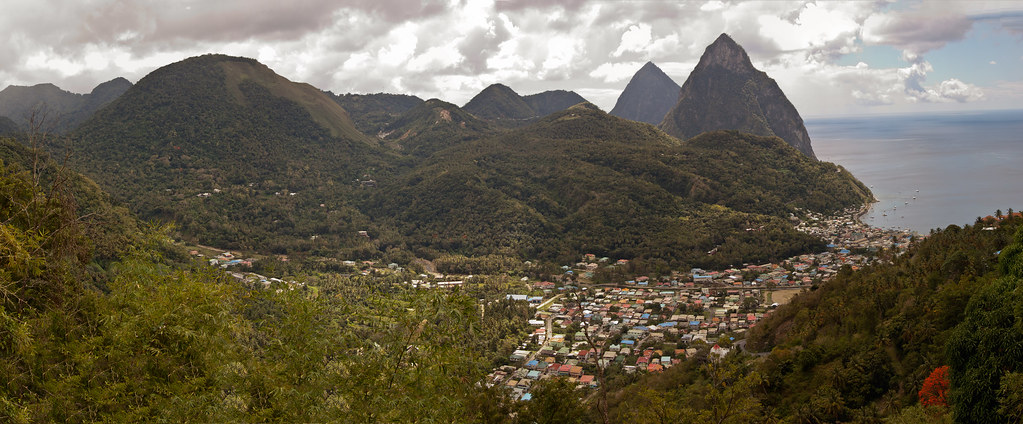
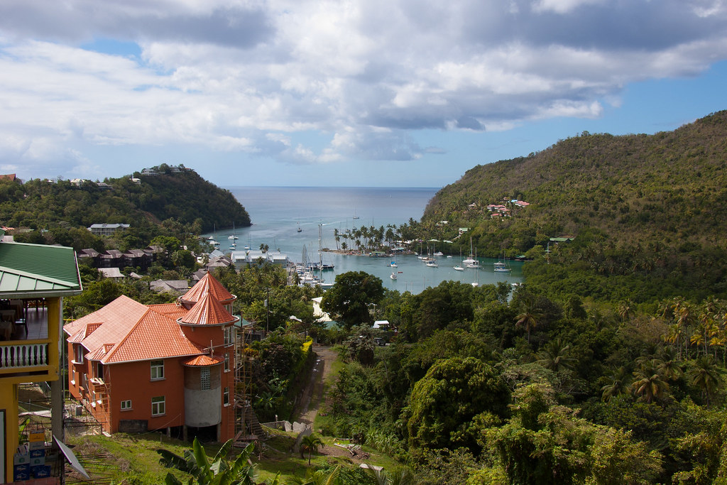
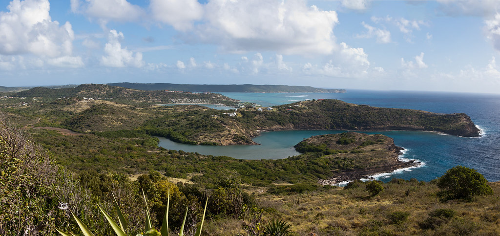
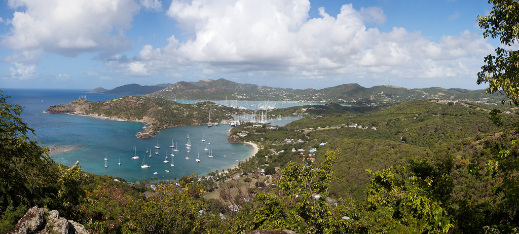
Above: A view of the south of the island.

Antigua means "ancient" in Spanish and was named by Christopher Columbus after an icon in Seville Cathedral, Santa Maria de la Antigua — St. Mary of the Old Cathedral. The island measures 108 square miles and has a population of about 90,000. The economy is mainly reliant on tourism, with the agricultural sector serving the domestic market.

DSC_5335
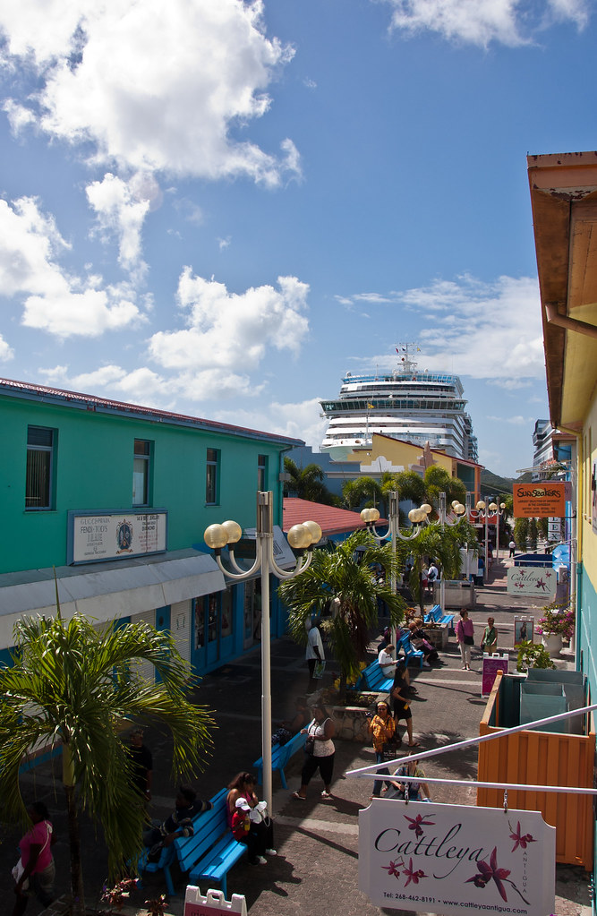
Above: The cruise ship terminal at St John's - the main town on Antigua - with a Costa ship (sister to the sunk Concordia) in the centre and the Maasdam just visible on the right.

Over 31,000 people live in the capital city, St. John's which is situated in the north-west and has a deep harbour which is able to accommodate large cruise ships.

DSC_5333
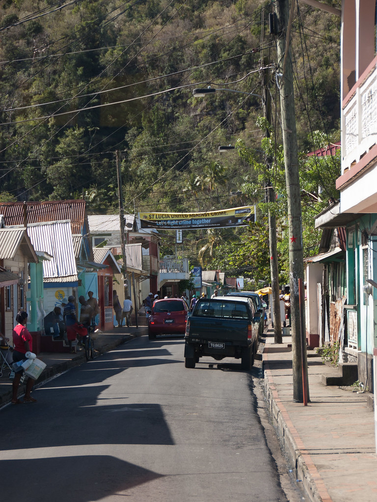
Above: Colourful buildings are adorned with motifs and artwork in downtown St John's.

Following Columbus' discovery of Antigua during his 1493 voyage, a group of English colonists established the first permanent European settlement on the island in 1632. They developed the island as a profitable sugar colony and for a long time the island was considered Britain's "Gateway to the Caribbean" as it was located on the major sailing routes among the region's resource-rich colonies.

DSC_5316
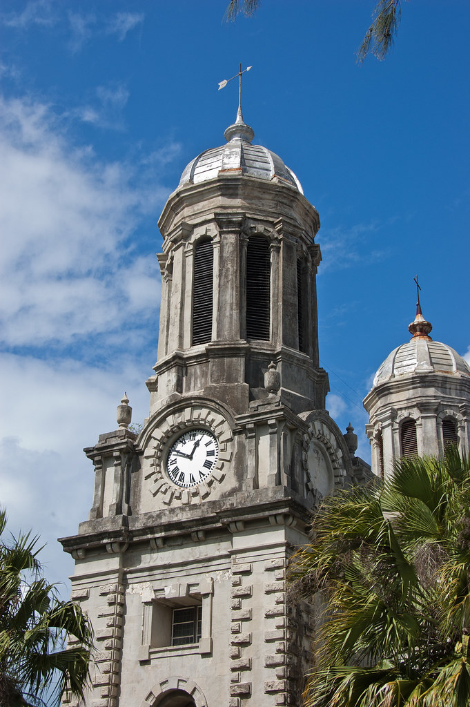
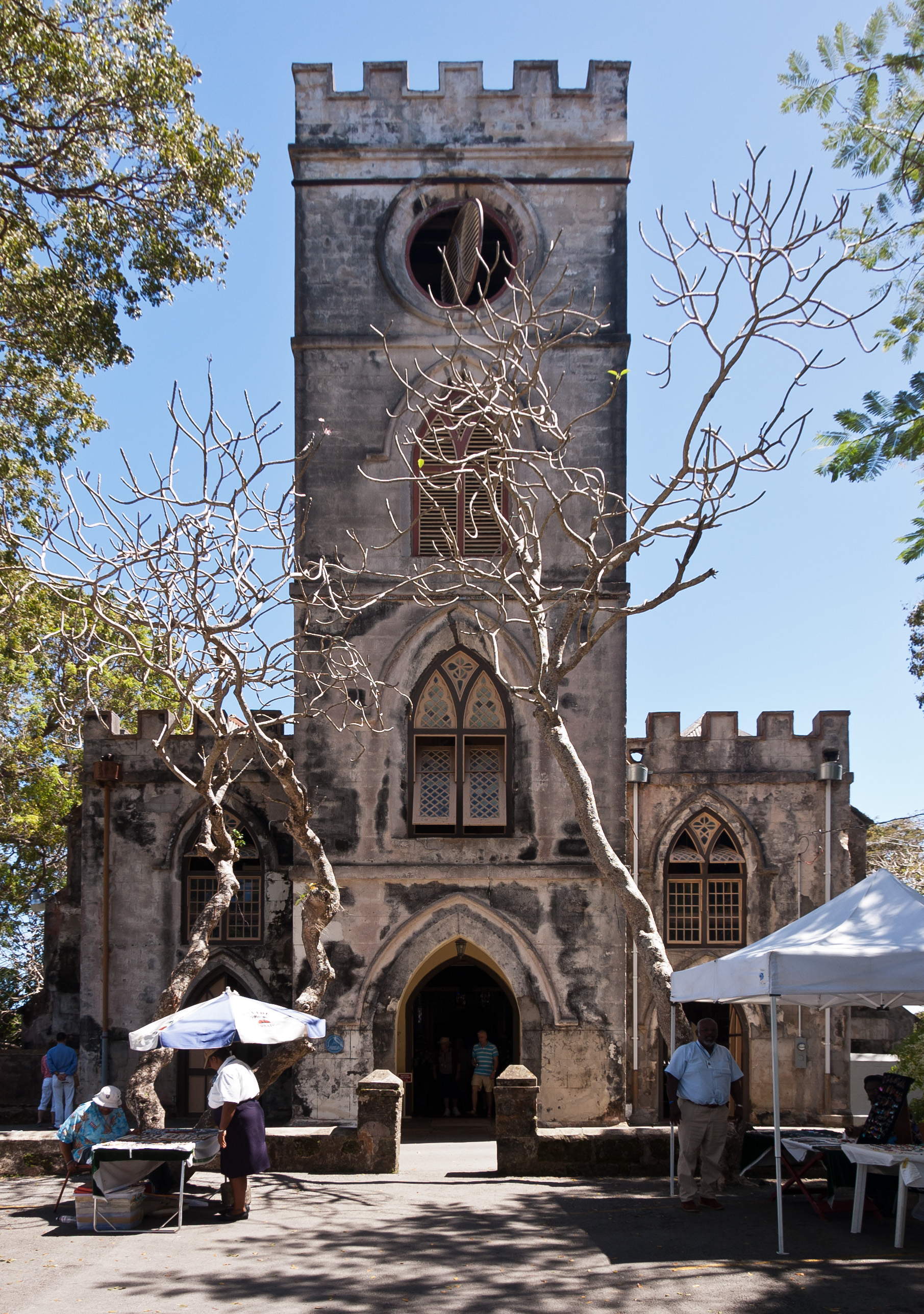
Above: St John's Cathedral, just a few blocks from the cruise terminal.

DSC_5318
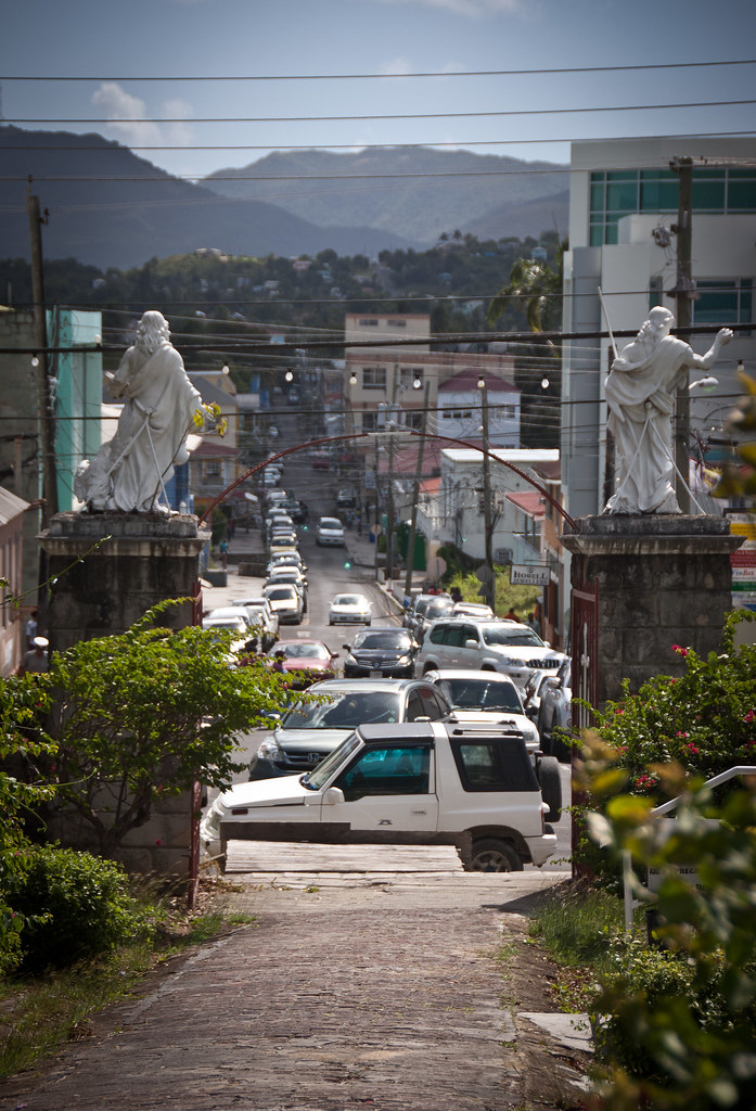
Above: Downtown St John's as viewed through St John's Cathedral gates.

Lord Horatio Nelson, a major figure in Antigua history, arrived in the late 18th century to preserve the island's commercial shipping prowess. Nelson was Senior Naval Officer of the Leeward Islands from 1784 to 1787 on the H.M.S. Boreas.

nelsonharbour_Panorama
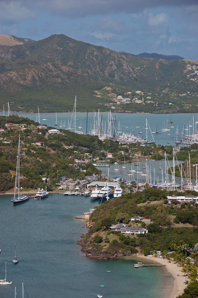
Above: English Harbour with Nelson's Dockyard in the centre of the picture.

English Harbour on the south-eastern coast is famed for its protected shelter during violent storms. It is the site of a restored British colonial naval station called Nelson's Dockyard.

DSC_5268
Above: Nelson's Dockyard.

The above two pictures were taken from the Royal Artillery Guard House, located across the harbour on the southernmost point of Antigua. The occupants of the Guard House were responsible for maintaining the four guns on the gun platform and the signal station (like a lighthouse).

DSC_5276
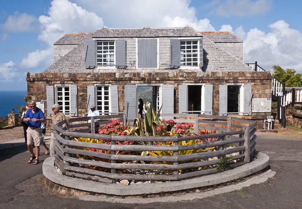
Above: The Royal Artillery Guard House

We then went to Nelson's Dockyard for a visit.

DSC_5302
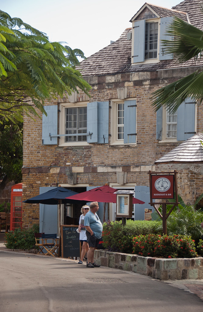
Above: One of the restored buildings (with a red telephone box!) at the Dockyard.

Today English Harbour and the neighbouring village of Falmouth are internationally famous as a yachting and sailing destination and provisioning centre.

DSC_5289_1
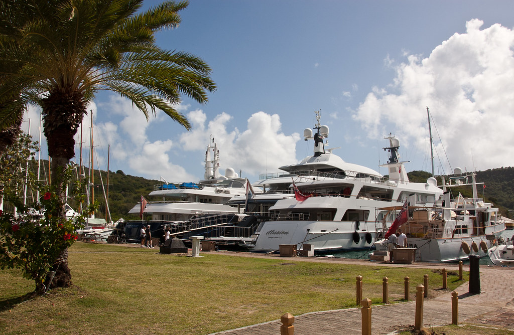
Above: Just a few of the private boats at the dockyard!

A lot of famous people have houses on the island, including Silvio Berlusconi, Richard Branson, John Barrowman, Timothy Dalton and Eric Clapton. You'll have to look carefully, but if you go back to the first photo of this blog, you might spot Eric Clapton's mansion on the far right of the photo or his drug treatment centre which is located on the third spit of land, second from the back. Close-ups are below:

DSC_5248
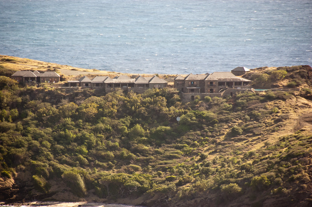
Above: Eric Clapton's mansion, located on the south of the island. It is very remote!

DSC_5246
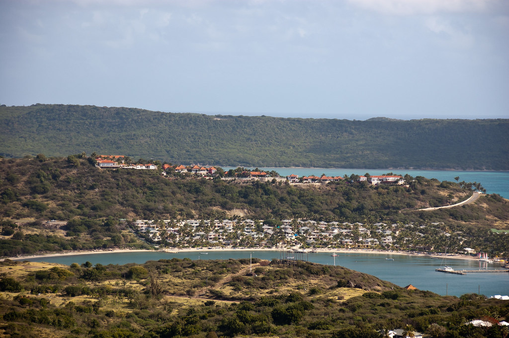
Above: The Drug Treatment centre, set up by Clapton. It is a private clinic, frequented by celebrities.

Just a little more history: In 1968, Antigua became an associated state of the Commonwealth, and in 1981 it was disassociated from Britain. The country was then led by what some describe as an elected family dynasty, with Vere Bird - the first prime minister - being succeeded in 1993 by his son, Lester Bird who retained the post until 2004.

DSC_5328
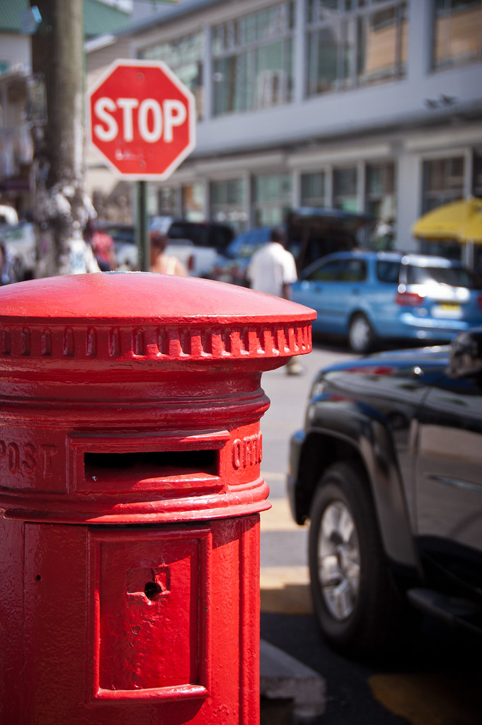
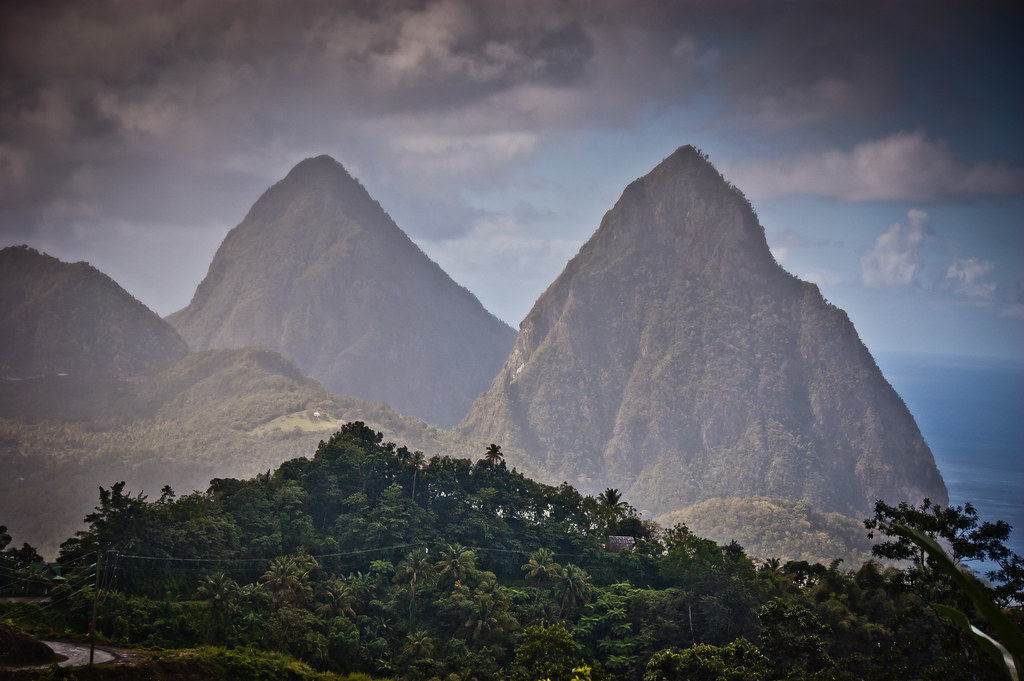
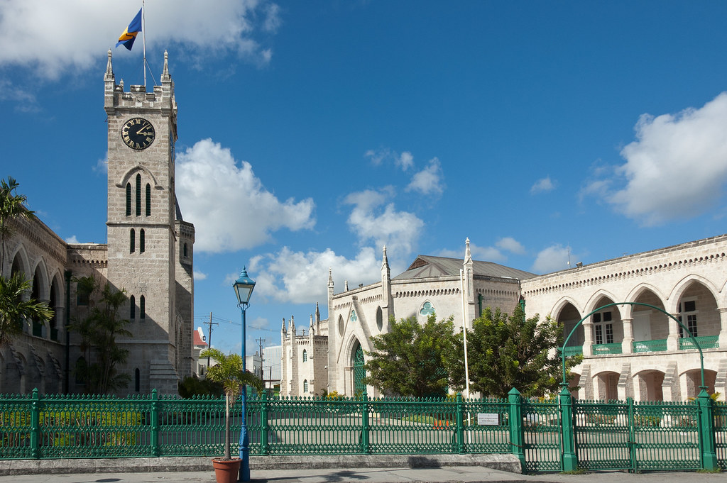
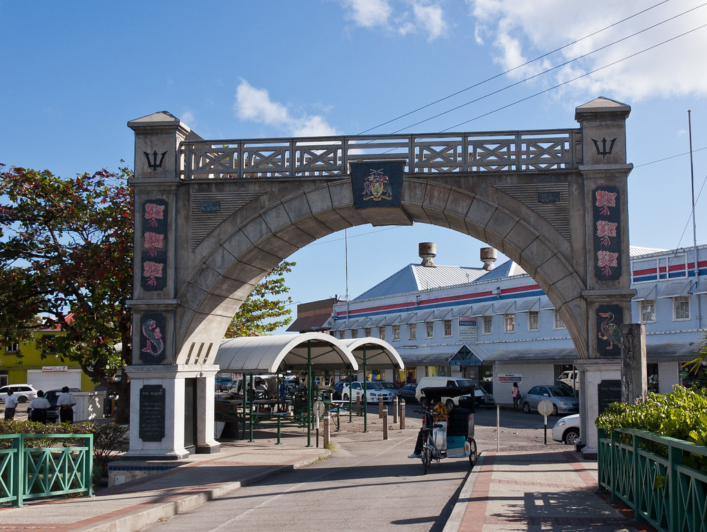
Above: Remnants of British sovereignty are dotted around the island.

I hope you enjoyed this detailed look at Antigua. I'll be back soon with more islands!

Thursday 23 February 2012

St Lucia

Hello again! Today I am going to show you around St Lucia, one of the most beautiful islands I have visited. Located in the eastern Caribbean Sea, St Lucia covers a land area of 238 square miles and has a population of 174,000. Our ship, the Maasdam, docks at its capital, Castries.

DSC_5672
Above: Overlooking the capital of St Lucia, Castries with the Maasdam on the right.

The island was named after Saint Lucy of Syracuse by the French, the first European colonisers. They signed a treaty with the native Carib peoples in 1660. England took control of the island from 1663 to 1667; in ensuing years, it was at war with France 14 times and rule of the island changed frequently (seven times French and British each).

DSC_5682
Above: One of the fishing villages we passed through on a tour I took.

In 1814, the British took definitive control of the island. On February 22, 1979, Saint Lucia became an independent state of the Commonwealth of Nations. The island nation celebrates this every year with a public holiday.

DSC_5706
Above: The famous twin Peaks of St Lucia, known as the Pitons. Saint Lucia is a volcanic island and therefore more mountainous than many other Caribbean islands.

During our shore excursion we visited the Morne Coubaril Estate for a plantation tour:

DSC_5721
Above: A reproduction of a traditional Carib village.

DSC_5727
Above: Palm trees abound on St Lucia!

DSC_5735
Above: We saw how cocoa beans were treated during our visit to the plantation.

DSC_5741
Above: A hummingbird - very tricky to capture as they move so fast!

Saint Lucia is also one of the few islands in the world that boasts a drive-in volcano. We visited the Sulphur Springs at the volcano in Soufrière.

DSC_5786
Above: The crater at the volcano with the sulphur gasses escaping.

DSC_5780
Above: The liquid you can see bubbling is boiling water, mixed with minerals which give the water a murky look.

DSC_5781
Above: Me at the tourist hot spot.

After our visit to the drive-in volcano, we headed back to the capital Castries via the town of Soufrière.

DSC_5794
Above: A sleeping man in a church at Soufrière.

Untitled_Panorama1_1
Above: A panorama of the town of Soufrière with the famous twin Peaks of the Pitons to the right and the sulphur springs of the volcano crater to the left of centre.
On our return to Castries we stopped off in Marigot Bay, a popular area for tourists and time shares.

DSC_5815
Above: Marigot Bay

I'll leave you with a bit of movie trivia. The arch you see below was apparently used for the opening shot of the first Pirates of the Caribbean film (The Curse of the Black Pearl):

DSC_5817 (2)

That's all for now! Next time I'll show you around Antigua - a very different island!

Saturday 18 February 2012

Barbados - Bridgetown and Beyond!

Welcome back to my blog, and the first post from my Eastern Caribbean cruises onboard the Maasdam (a sister ship to my first ship, the Ryndam). Today I am going to show you around parts of Barbados!

DSC_5584
Above: The Atlantic Coast of Barbados

Barbados is the easternmost island in the Lesser Antilles. It is 21 miles in length and as much as 14 miles in width. It is flat in comparison to its island neighbours to the west, the Windward Islands. The island rises gently to the central highland region, with the highpoint of the nation being Mount Hillaby, in the Scotland District, 1,120 feet above sea level.

DSC_5583
Above: Mushroom rocks sitting in the shallows are a popular tourist draw.

Barbados was initially visited by the Spanish around the late 1400s and thereafter, the Portuguese in 1536 then visited, but they too left it unclaimed. The first English ship, the Olive Blossom, arrived in Barbados in 1625. They took possession of the island and two years later in 1627 the first permanent settlers arrived from England. Barbados became an English and later British colony.

DSC_5554
Above: A view of the valley and coastline.

Barbados has an estimated population of 284,589 people, with around 80,000 living in or around Bridgetown, the largest city and the country's capital. In 1966, Barbados became an independent state and Commonwealth realm, retaining Queen Elizabeth II as Head of State. Barbados is one of the Caribbean's leading tourist destinations and is one of the most developed islands in the region.

DSC_5598
Above: Another view of the Atlantic cost.

During my visit to Barbados we also visited St. John Parish Church, first erected in 1645 and then destroyed by fire and rebuilt in 1676. It was then destroyed by a hurricane and rededicated in 1836.

DSC_5623
Above: St John Parish Church

After my tour around the island, I visited Bridgetown, the capital of Barbados and the port at which the Maasdam docked.

DSC_5646
Above: Parliament buildings in Bridgetown.

Bridgetown serves as a principal centre of commercial activity in Barbados, as well as a central hub for the island's public transport system. Many of the ministries and departments of the island's government are located within the Greater Bridgetown area. The Public Buildings or parliament, which stand at the heart of the city directly north of Heroes Square, house the third oldest continuous parliament in the British Commonwealth.

DSC_5653
Above: It was a Sunday afternoon when I visited and an open-air church service was taking place in one of the squares.

DSC_5639
Above: Barbados traffic lights. Like many of the islands that used to exist under British rule, traffic drives on the left.

DSC_5658
Above: The Independence Arch, taken from Chamberlains Bridge.

I hope you enjoyed this brief visit to Barbados. Next stop on my blog is St. Lucia - a stunningly beautiful island. Don't miss it!