
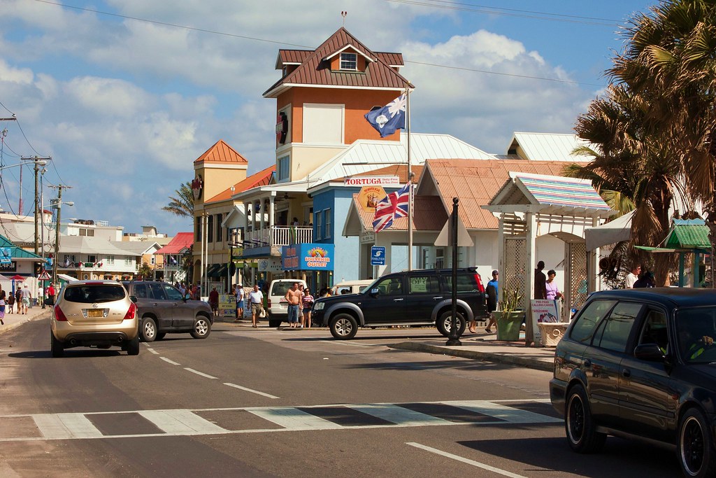
Above: Georgetown
Grand Cayman is the largest of the three Cayman Islands, the other two being Little Cayman and Cayman Brac which are located 90 miles northeast.
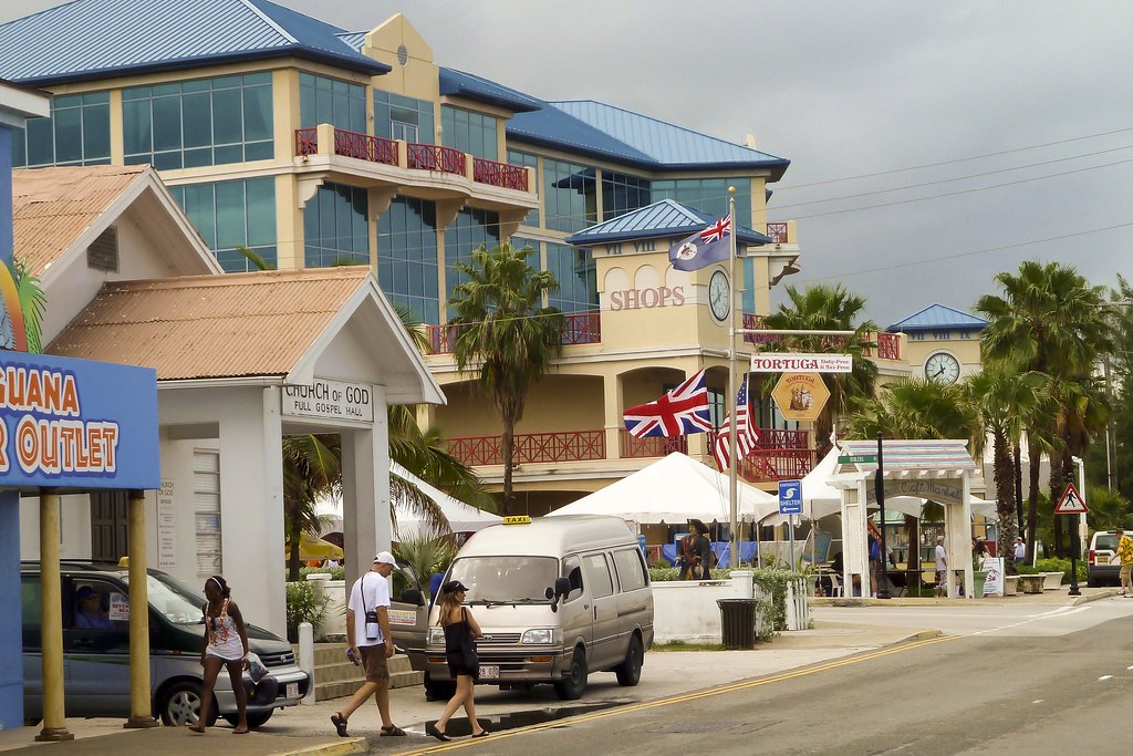
Above: Georgetown street
The island is just 22 miles long and 8 miles wide at its widest point with the highest ‘summit’ 60 feet above sea level. There are mountains in the region, but they are all submerged – the limestone outcrops of Cayman Ridge extend from Cuba’s Sierra Maestra range to the Misteriosa Bank near Belize.
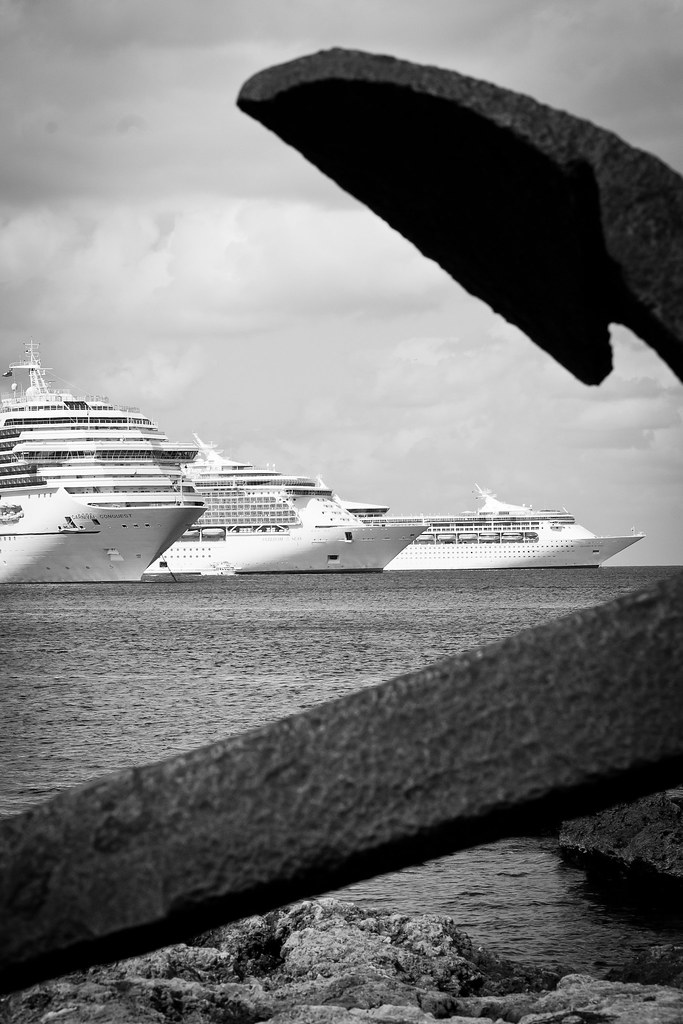
Above: Ships through an anchor
Limestone is porous so there are no rivers or streams. This gives coastal waters a deep indigo hue. Living coral reef surrounds all three islands and local conditions are ideal for swimming, snorkelling and fishing.
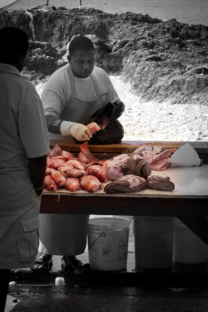
Above: A local fisherman
When we were last in Grand Cayman, there were five ships offshore which is the most I’ve seen out here. I managed to fit them all into one picture!
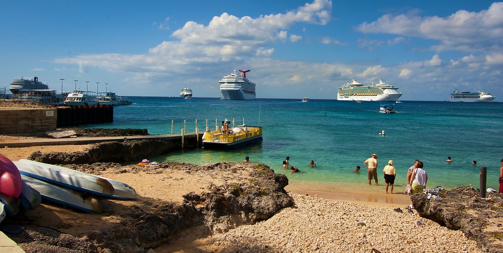
Above: Five ships
Because the coastline is too shallow for the big ships to actually dock we have to ‘tender’ – i.e. use smaller boats to reach the land. In Grand Cayman we use some of the lifeboats from the ship which you can see here:
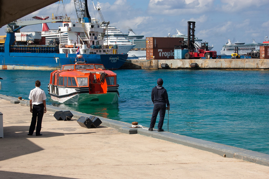
Above: Ryndam lifeboat
I hope you enjoyed this brief tour of Georgetown. Apologies for some of the arty photos – I’m getting to grips with Photoshop at the moment so expect some more in the future! My next blog will be a Christmas special from aboard the ship. Stay tuned!
No comments:
Post a Comment