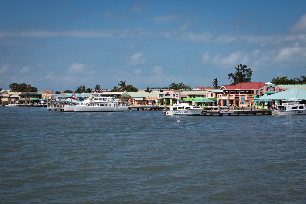
Above: Fort Street Tourism Port
Belize (formerly British Honduras) is a democratic constitutional monarchy, and the northernmost Central American nation. Belize has a diverse society, comprising many cultures and languages and is the only country in Central America where English is the official language (although Kriol and Spanish are also spoken among the population). Belize is bordered to the north by Mexico, south and west by Guatemala, and to the east by the Caribbean Sea.
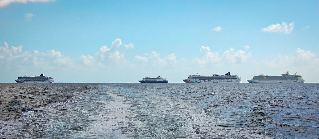
Above: Belize City is a popular destination for cruise lines
Belize City is the largest city in Belize with an estimated population of 79,600. It is located at the mouth of the Belize River on the coast of the Caribbean and is divided into two areas: Northside (the Caribbean side where we tender) and Southside (the Central American side). The city is the country's principal port and its financial and industrial hub and was the capital of British Honduras (as Belize was then named) until the government was moved to the new capital of Belmopan in 1970.
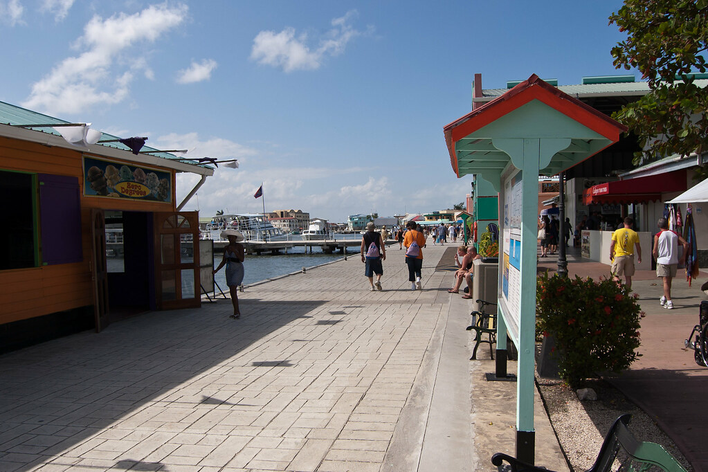
Above: The waterfront path at the Fort Street Tourism Port
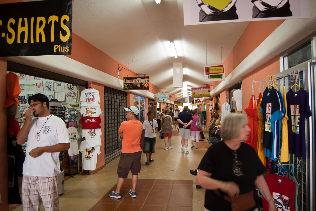
Above: One of the terminal buildings at the Fort Street Tourism Port
The tourism port is a safe place for cruise ship passengers to shop and dine but it in no way reflects the true atmosphere of Belize City. Outside of the terminal gates, people are friendly but very needy and tend to hassle passengers who venture outside.
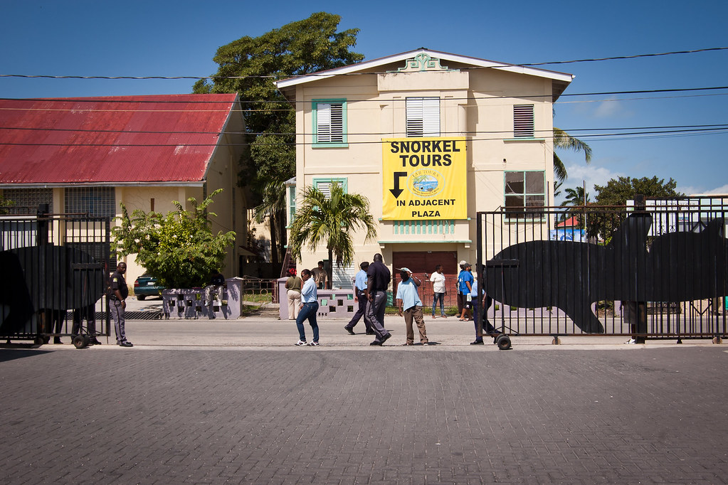
Above: Looking beyond the terminal gates
A shore excursion is a great way to see more of the city as you pass through on your way to your destination. I acted as a crew escort for a tour to the Xunantunich Mayan Ruins a few weeks ago and had a great time.
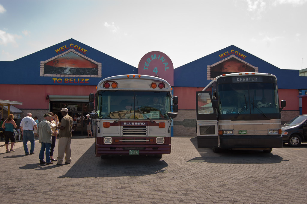
Above: Some of the buses that take guests on shore excursions
Xunantunich is located atop a ridge above the Mopan River, within sight of the Guatemala border. Its name means "Stone Woman" in the Maya language and, like many names given to Maya archaeological sites, is a modern name; the ancient name is currently unknown.
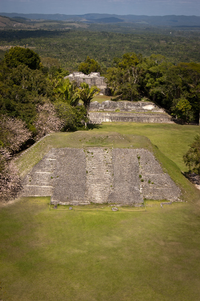
Above: View from the Castillo at Xunantunich
Most of the structures at Xunantunich date from the Maya Classic Era, about 200 to 900 BC. There is evidence that some structures were damaged by an earthquake while they were occupied; this earthquake may have been a reason for the site's abandonment.
Before we could reach Xunantunich we had to cross a river on a manually operated raft which transports minibuses as well as people!
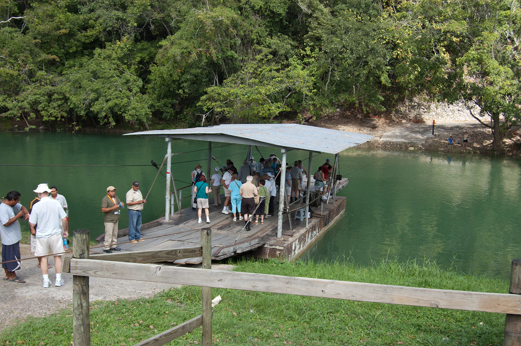
Above: The raft to take passengers to Xunantunich
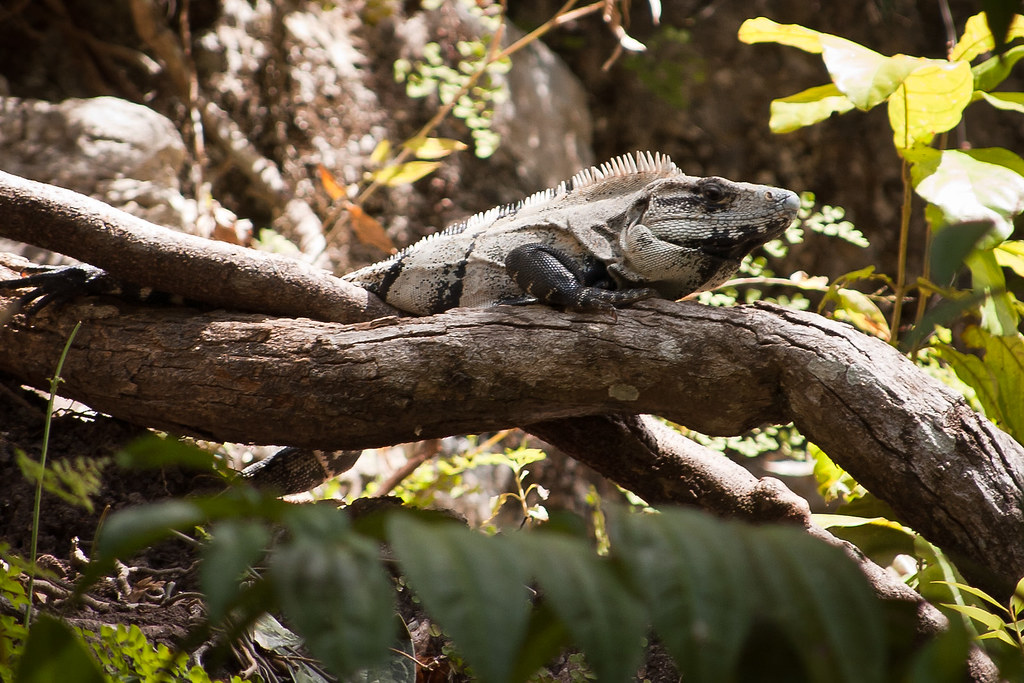
Above: After crossing the river, I spotted a lizard close by
The core of Xunantunich occupies about one square mile, consisting of a series of six plazas surrounded by more than 26 temples and palaces. One of its structures, the pyramid known as "El Castillo" is the second tallest structure in Belize (after the temple at Caracol), at some 130 feet tall.
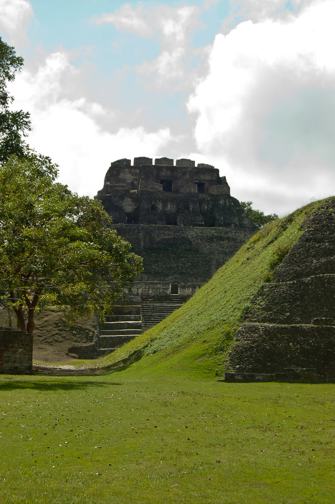
Above: El Castillo
Evidence of construction suggests the temple was built in three stages in the 7th, 8th, and 9th centuries. The fine stucco or "frieze" are located on the final stage and a fibreglass replica now covers the original carvings to preserve them from the elements.
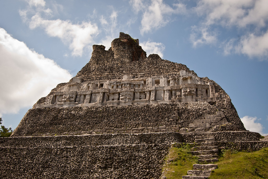
Above: Fibreglass replica of the original stucco on El Castillo
You can climb to the very top of El Castillo (a lot of steps) and the view is pretty amazing. I’ll leave you with a shot of me at the top and a panorama of the view. Thanks for reading and speak soon!
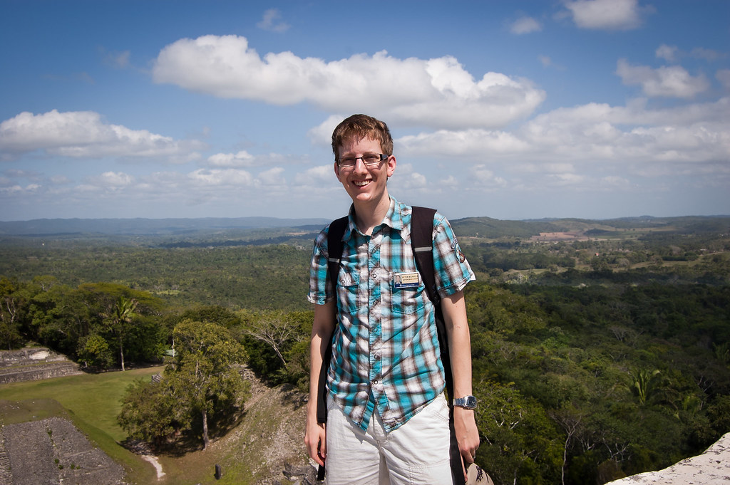
Above: Me at the top of El Castillo

Above: View from the top of El Castillo. Click for a bigger picture.
UPDATE: New shots of Belize City and a video and picture from a HAL Tour Excursion: The Lost World - Canopy and Rapelling Tour.
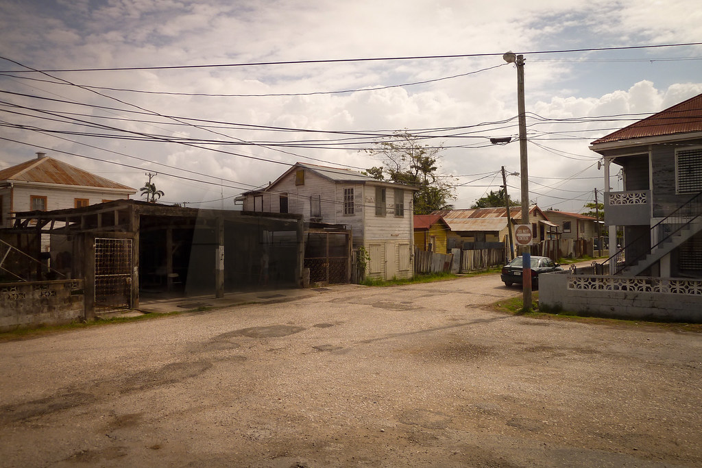
Above: Belize City
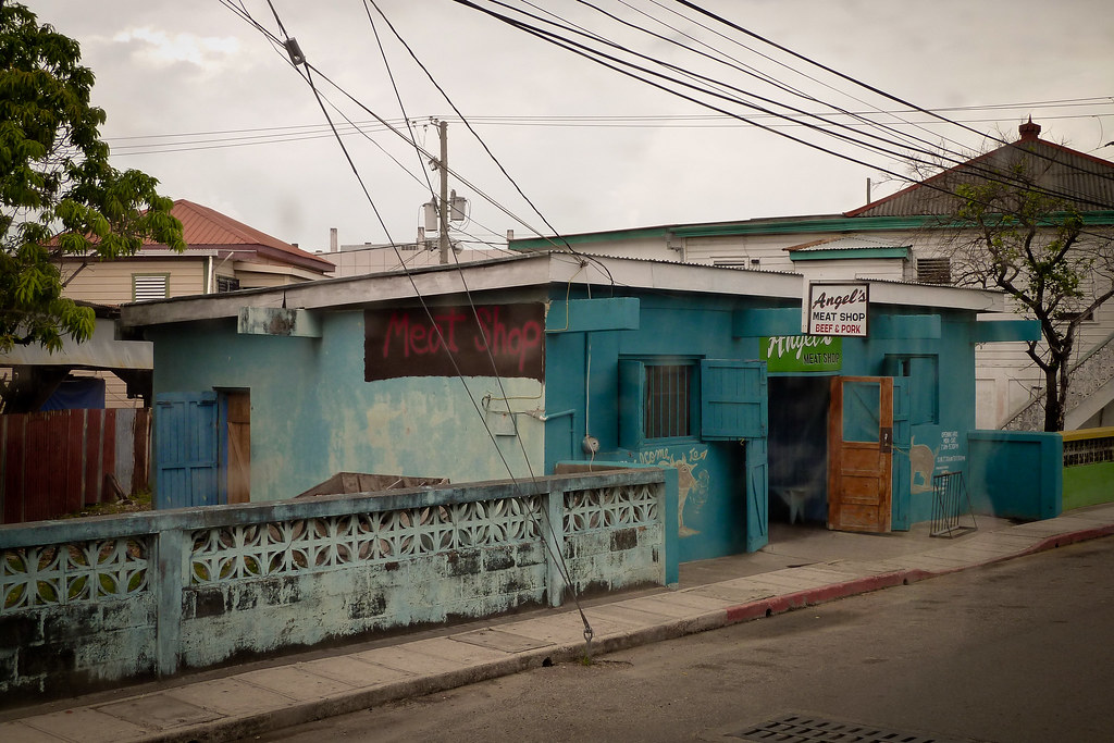
Above: Belize City meat shop
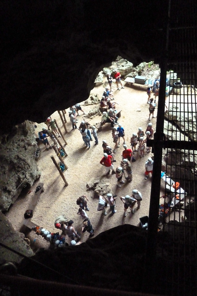
Above: Canopy and Rapelling Tour

No comments:
Post a Comment