

Above: The Atlantic Coast of Barbados
Barbados is the easternmost island in the Lesser Antilles. It is 21 miles in length and as much as 14 miles in width. It is flat in comparison to its island neighbours to the west, the Windward Islands. The island rises gently to the central highland region, with the highpoint of the nation being Mount Hillaby, in the Scotland District, 1,120 feet above sea level.
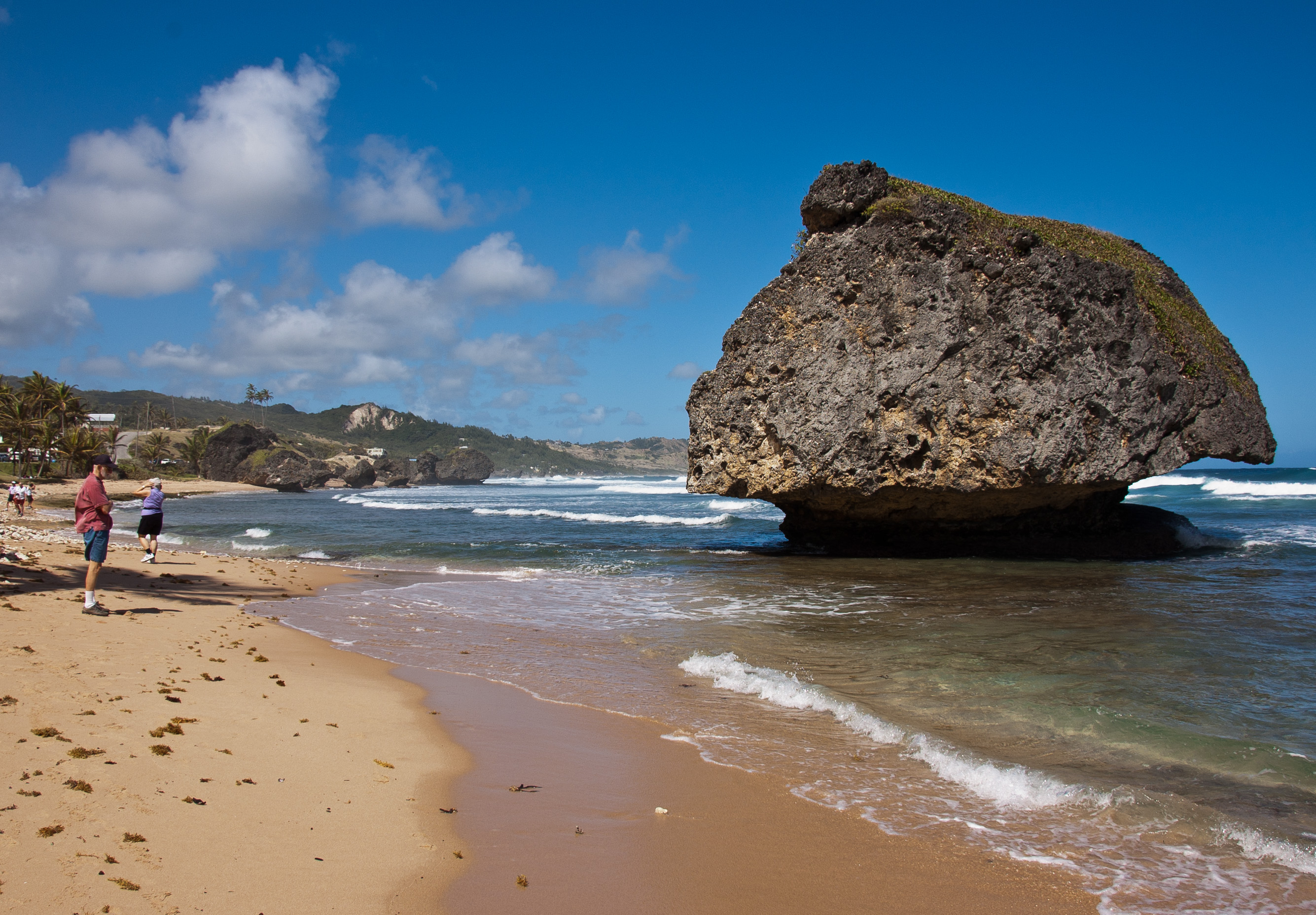
Above: Mushroom rocks sitting in the shallows are a popular tourist draw.
Barbados was initially visited by the Spanish around the late 1400s and thereafter, the Portuguese in 1536 then visited, but they too left it unclaimed. The first English ship, the Olive Blossom, arrived in Barbados in 1625. They took possession of the island and two years later in 1627 the first permanent settlers arrived from England. Barbados became an English and later British colony.
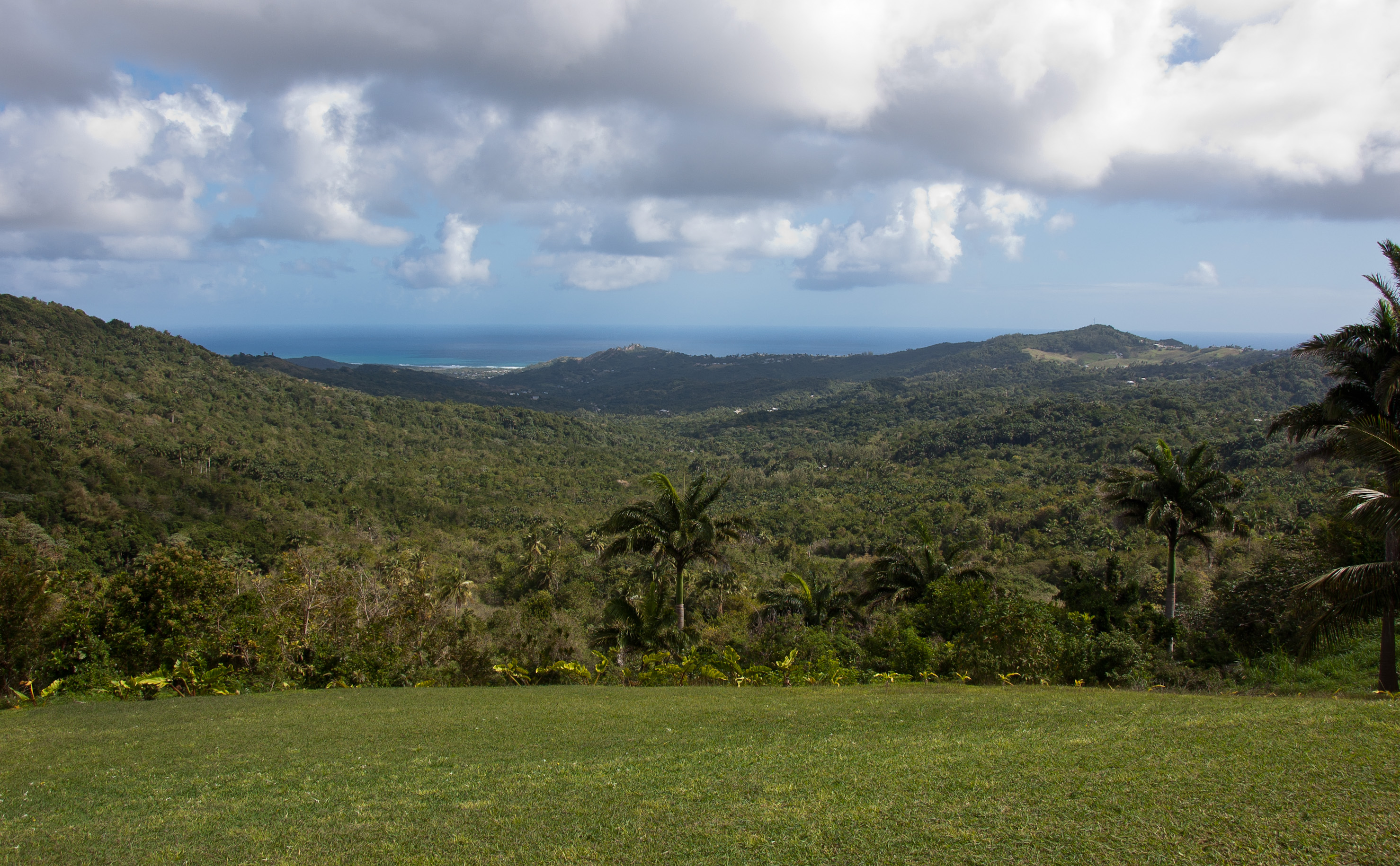
Above: A view of the valley and coastline.
Barbados has an estimated population of 284,589 people, with around 80,000 living in or around Bridgetown, the largest city and the country's capital. In 1966, Barbados became an independent state and Commonwealth realm, retaining Queen Elizabeth II as Head of State. Barbados is one of the Caribbean's leading tourist destinations and is one of the most developed islands in the region.
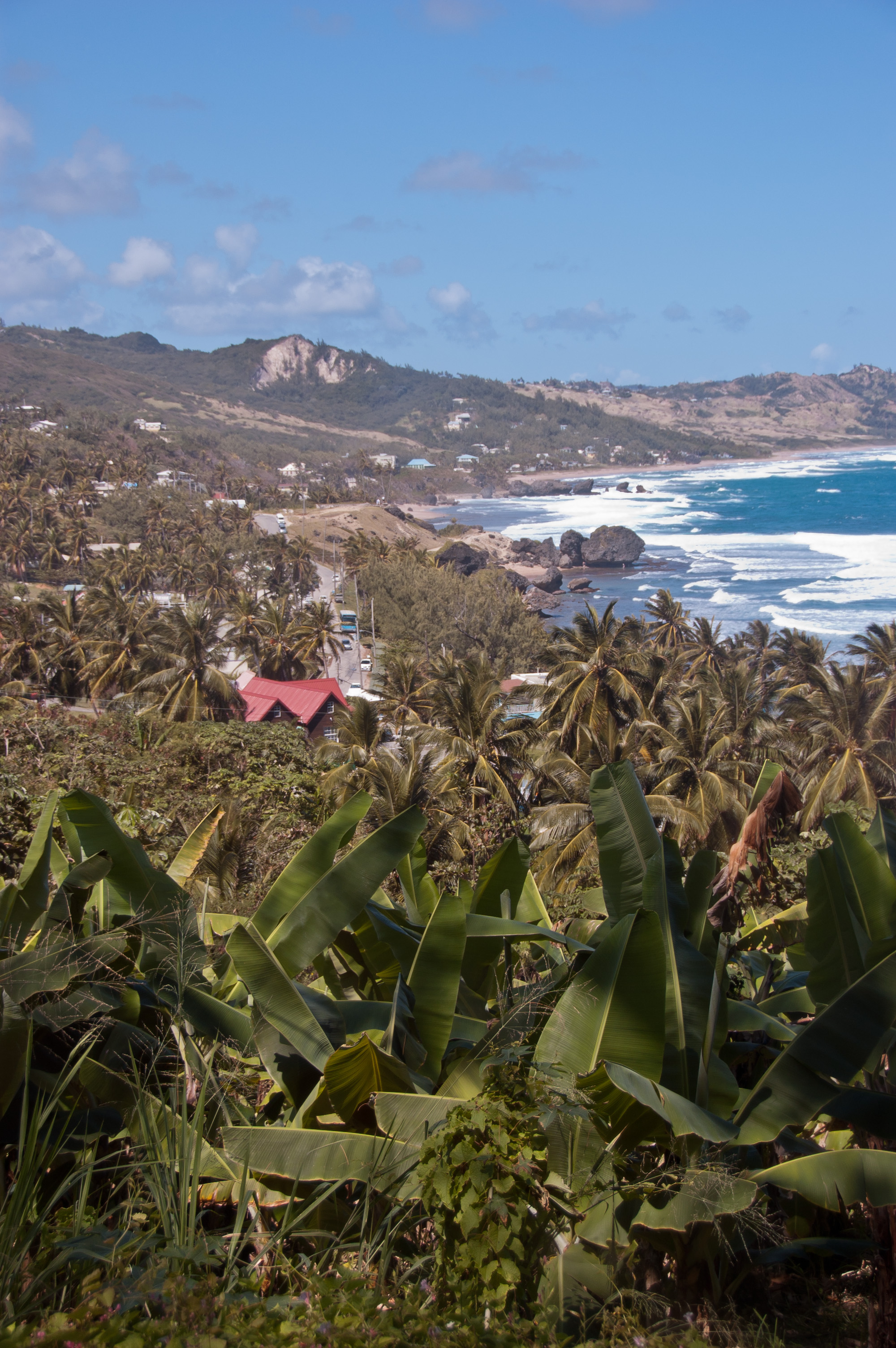
Above: Another view of the Atlantic cost.
During my visit to Barbados we also visited St. John Parish Church, first erected in 1645 and then destroyed by fire and rebuilt in 1676. It was then destroyed by a hurricane and rededicated in 1836.
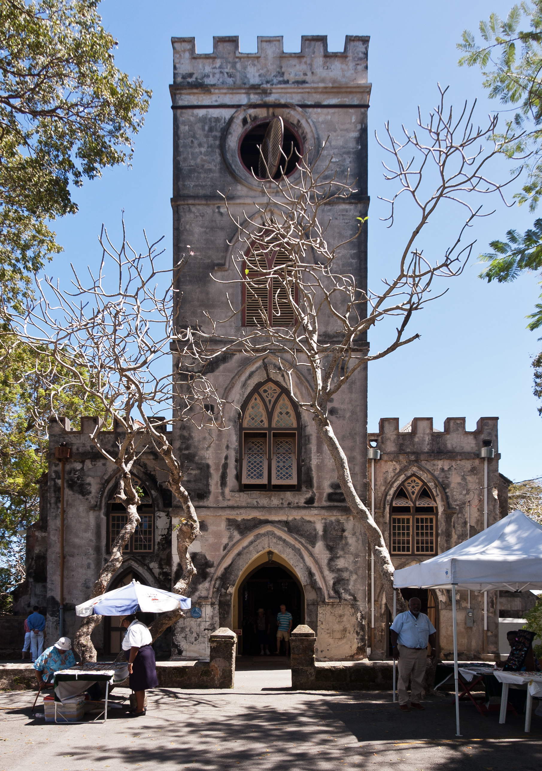
Above: St John Parish Church
After my tour around the island, I visited Bridgetown, the capital of Barbados and the port at which the Maasdam docked.
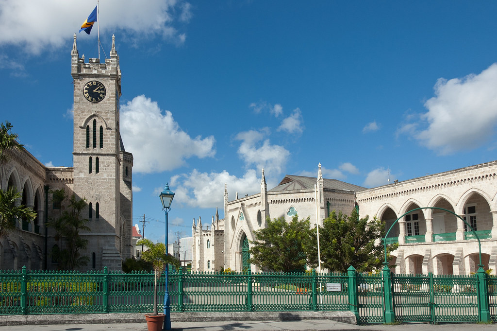
Above: Parliament buildings in Bridgetown.
Bridgetown serves as a principal centre of commercial activity in Barbados, as well as a central hub for the island's public transport system. Many of the ministries and departments of the island's government are located within the Greater Bridgetown area. The Public Buildings or parliament, which stand at the heart of the city directly north of Heroes Square, house the third oldest continuous parliament in the British Commonwealth.
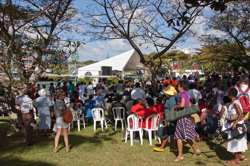
Above: It was a Sunday afternoon when I visited and an open-air church service was taking place in one of the squares.
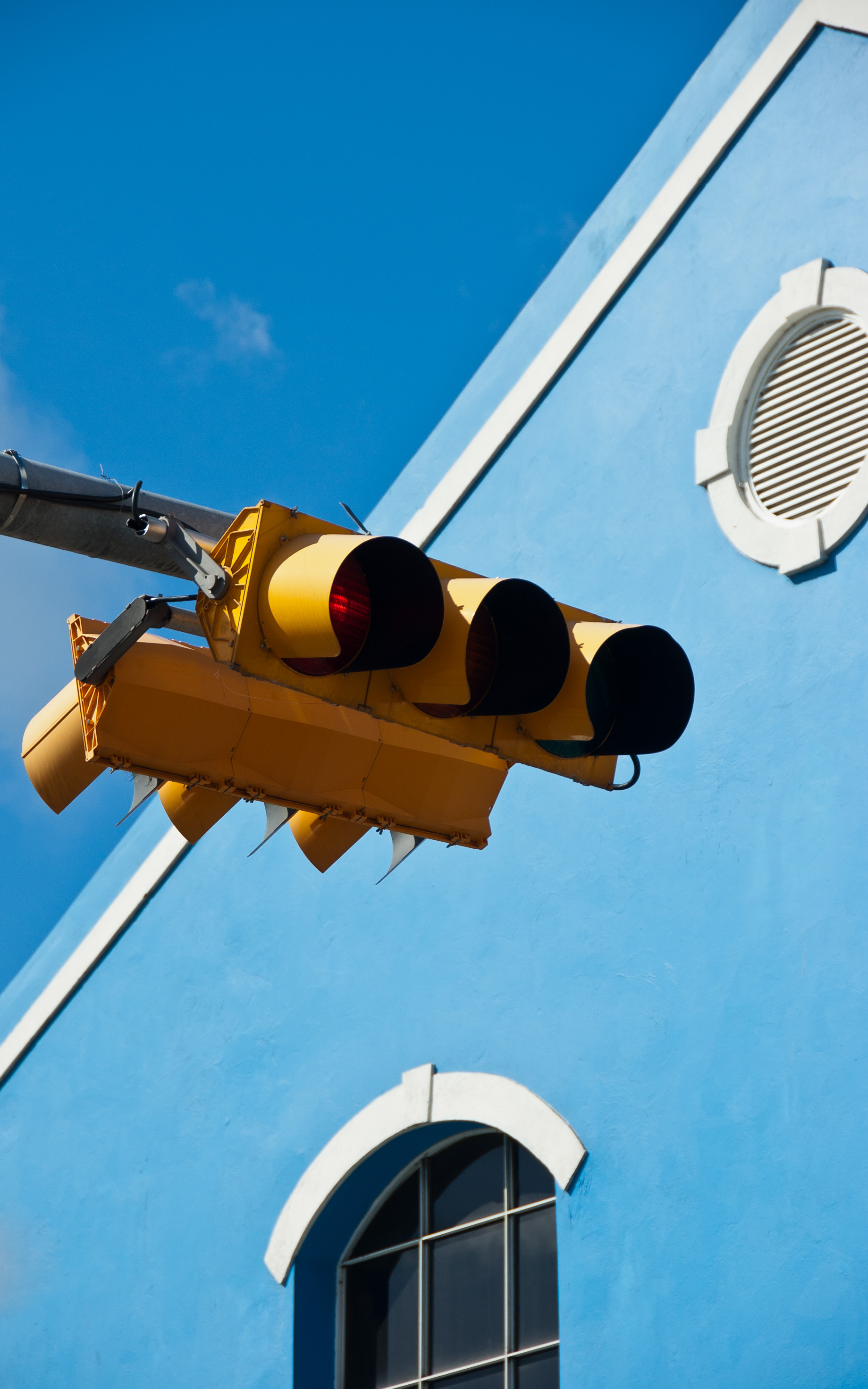
Above: Barbados traffic lights. Like many of the islands that used to exist under British rule, traffic drives on the left.
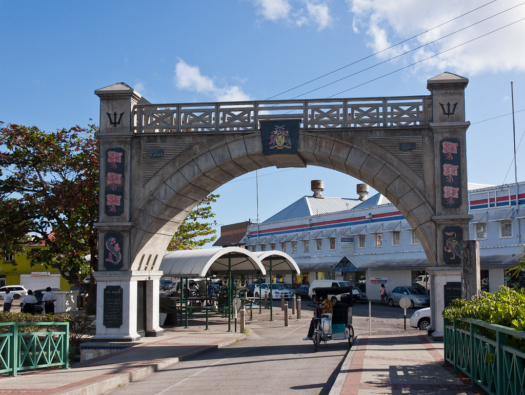
Above: The Independence Arch, taken from Chamberlains Bridge.
I hope you enjoyed this brief visit to Barbados. Next stop on my blog is St. Lucia - a stunningly beautiful island. Don't miss it!
Great shots Peter,looks just as it is advertised..Tough life on these crusies aye..enjoy it all mate..{:o)
ReplyDelete