
Above: The view of Fort-de-France, the capital city of Martinique.
As part of France, Martinique is part of the European Union, and its currency is the Euro. Its official language is French, although many of its inhabitants also speak Antillean Creole.
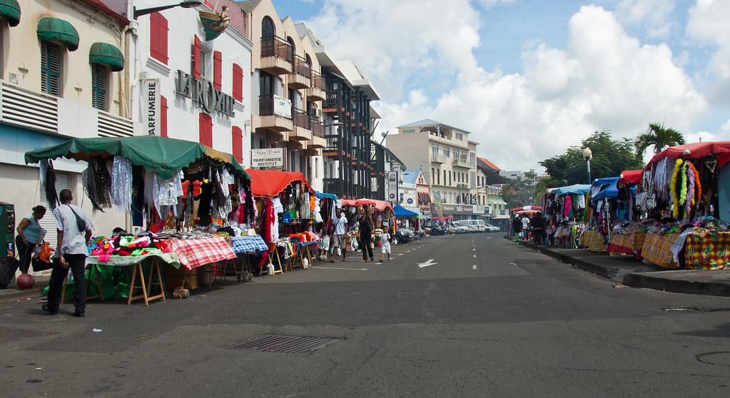
Above: Downtown Fort-de-France. The city was preparing for Carnival that evening.
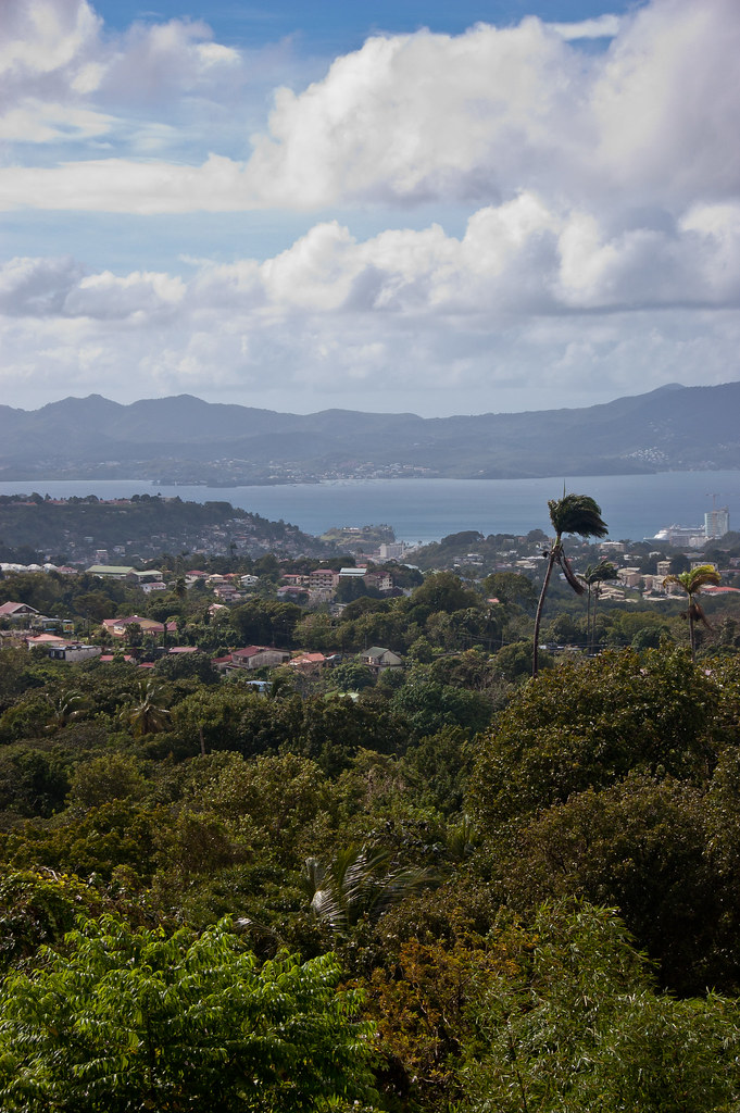
Our ship docked at Fort-de-France, the capital of Martinique and one of the major cities in the Caribbean with exports including sugar, rum, tinned fruit, and cacao. The city occupies a narrow plain between the hills and the sea but is accessible by road from all parts of the island.
Above: The view of Fort-de-France from the ship.
On an overview tour of the island, we stopped at two attractions nearby to Fort-de-France. The first was Sacré-Cœur de Balata Church, a replica of the parisian Montmartre Church lodged on a cliff surrounded by tropical forest:
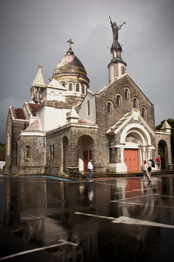
Above: Sacré-Cœur de Balata Church
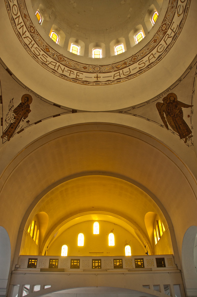
Above: The inside of Sacré-Cœur de Balata Church.
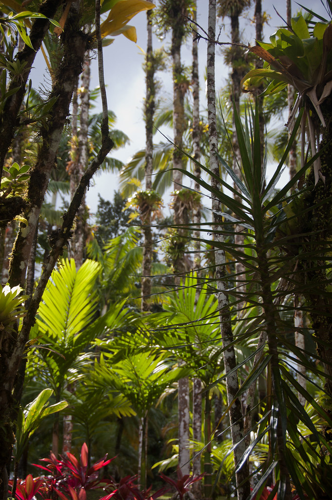
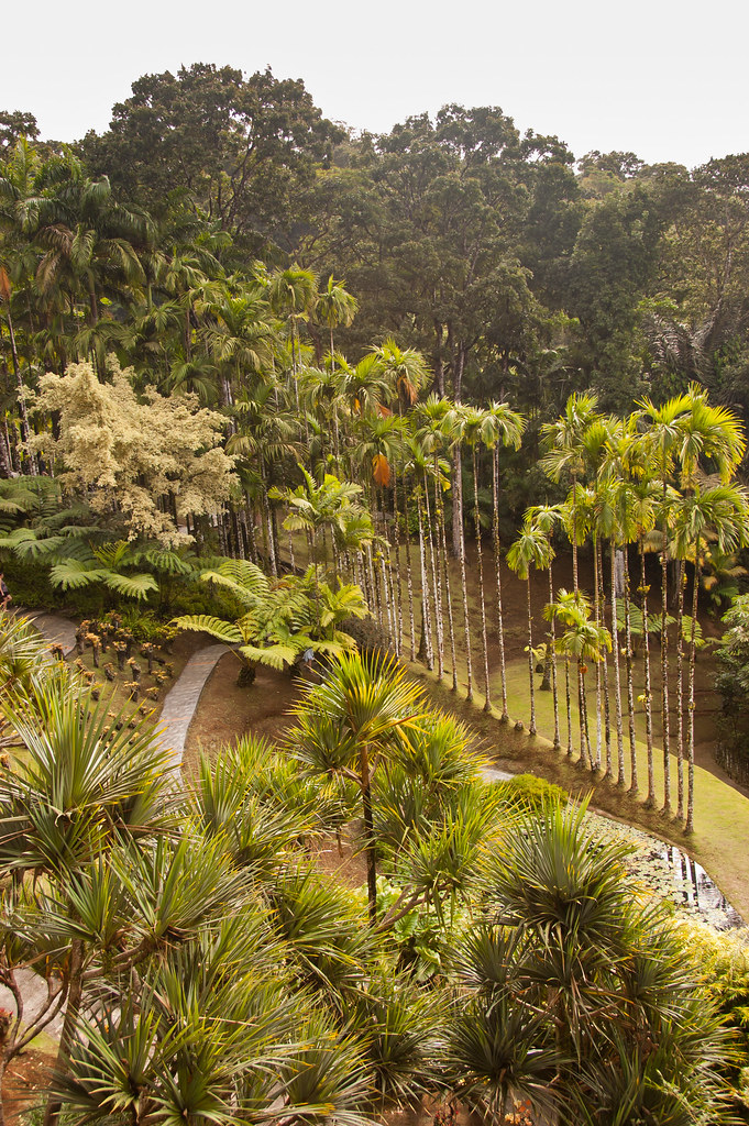
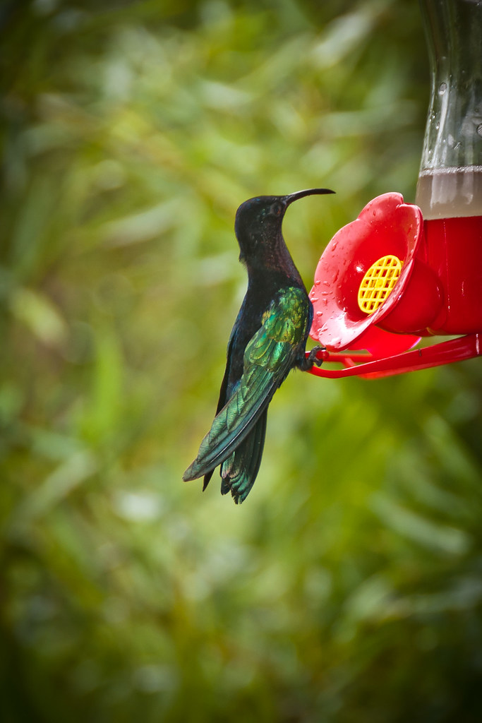
The other attraction was the Jardin de Balata, a botanical garden, filled with exotic plants and hummingbirds:
We drove around a good portion of Martinique and saw the different geographical sides of the island. The north of the island is mountainous and lushly forested with lots of volcanoes whereas the south is more easily traversed and receives most of the tourists with its many beaches and resorts.
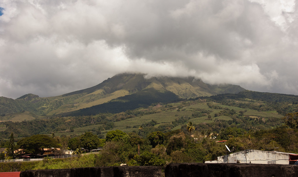
Above: Mount Pelée with its peak covered in cloud.
The highest of the island's many mountains, at 4,583 feet, is the famous volcano Mount Pelée. Its volcanic ash has created gray and black sand beaches in the north contrasting markedly from the white sands of Les Salines in the south.
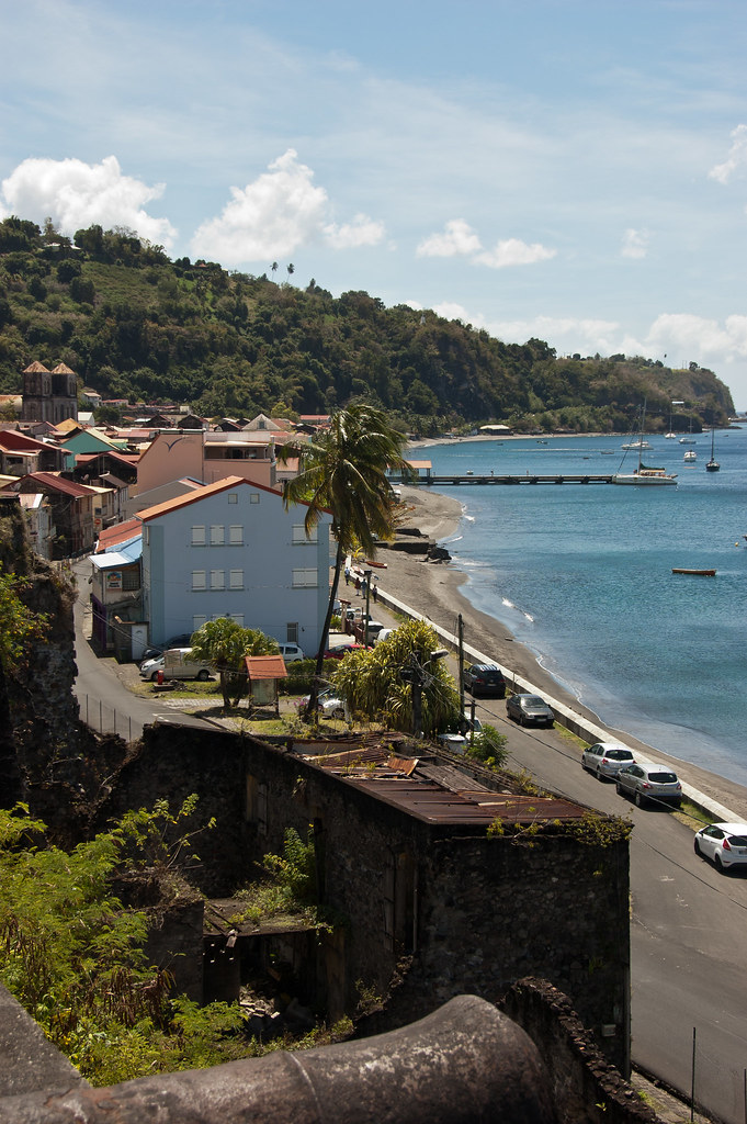
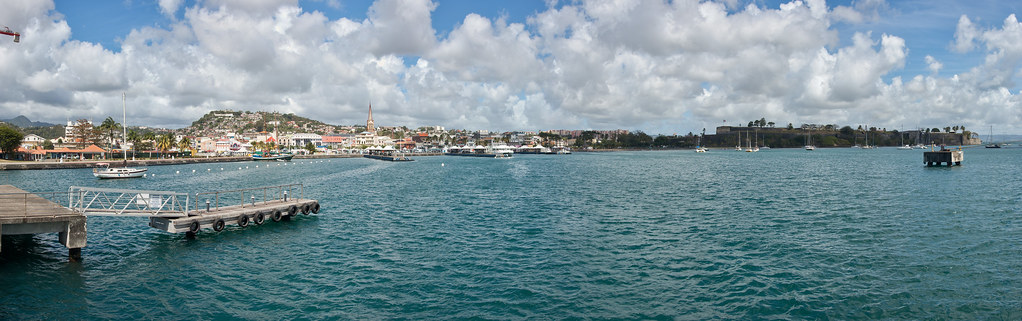
Above: The coast of Saint-Pierre.
During our tour, we also visited the town of Saint-Pierre. Before the total destruction of the town in 1902 by a volcanic eruption, it was the most important city of Martinique culturally and economically, being known as "the Paris of the Caribbean".
Above: The ruins of a theatre in Saint-Pierre.
The town was destroyed on 8 May 1902, when the volcano Mount Pelée erupted, killing over 30,000 people, the entire population of the town as well as people from neighbouring villages who had taken refuge in the supposedly safe city. Only two people survived – a prisoner who later toured the world with the Barnum and Bailey Circus, and a man who lived at the edge of the city.
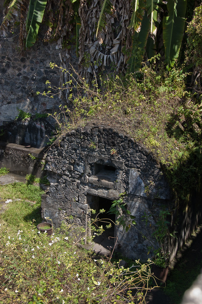
Above: The prisoner who survived the eruption was found in this cell.
The volcano gave the town's population plenty of warning - there was considerable eruptive activity in the two weeks prior to the fatal blast - but since the phenomenon of the pyroclastic flow was not yet understood, the danger was perceived to be from lava flows, which, it was believed, would be stopped by two valleys between the volcano and the city.
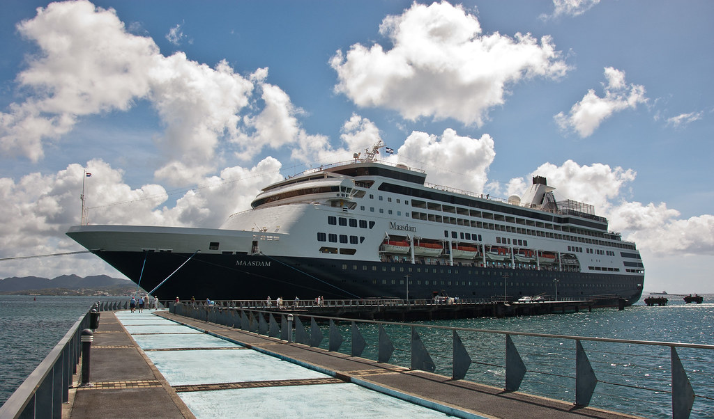
Above: The Maasdam docked at Fort-de-France.
I'll leave you with a shot of our ship docked. For the observant among you, you will notice that the Maasdam is pretty much identical to my first ship, the Ryndam!
Nice post regarding Martinique. Thanks for sharing valuable information
ReplyDeletemeilleures activités aériennes avec atawane