

Above: Frederiksted, the town in St. Croix where our ship docked.
Saint Croix is the largest island in the United States Virgin Islands (USVI), an unincorporated territory of the United States, just like Saint Thomas. Formerly the Danish West Indies, they were sold to the United States by Denmark in the Treaty of the Danish West Indies of 1916, in exchange for a sum of $25million in gold.

Above: A street in Christiansted, the main town in St. Croix.
During my time in St. Croix, I took a walking tour of Christiansted which has preserved the 18th-century Danish-style buildings constructed by African slaves.

Above: The customs house in Christiansted.
Solid stone buildings in pastel colours with bright red tile roofs line the cobblestone sidewalks, adding a touch of European charm.

Above: The restored Government House on King Street, Christiansted.
Fort Christiansvern sits at the edge of the harbour and doubled as a prison for African slaves who were imprisoned in very cramped spaces.

Above: Fort Christiansvern.

Above: Canons running along the top of the Fort.
We'll leave St Croix with a panoramic shot of the harbour area of Christensted.

ST KITTS
Saint Kitts (also known more formally as Saint Christopher Island) is an island in the West Indies. The west side of the island borders the Caribbean Sea, and the eastern coast faces the Atlantic Ocean. Saint Kitts and the neighbouring island of Nevis constitute one country: the Federation of Saint Kitts and Nevis.

Above: A panoramic shot of downtown Basseterre from the ship.
The island is one of the Leeward Islands in the Lesser Antilles and measures 65 square miles. The capital of the two-island nation, and also its largest port, is the town of Basseterre on Saint Kitts where are ship docked.

Above: The two cruise ships docked at the Basseterre port.
For hundreds of years, St. Kitts operated as a sugar monoculture. But due to decreasing profitability, the government closed the industry in 2005. Tourism is a major and growing source of income to the island, although the number and density of resorts is less than on other Caribbean islands.

Above: A 'replica' of Piccadilly circus in downtown Basseterre.
St. Kitts has three distinct groups of volcanic peaks: the North West or Mount Misery Range; the Middle or Verchilds Range and the South East or Olivees Range. The highest peak is Mount Liamuiga, formerly Mount Misery, a dormant volcano some 1,156 m high.

Above: Fountain with Church behind in downtown Basseterre.
On my visit to St. Kitts I did a tour of the island on the narrow gauge St. Kitts Scenic Railway, built in the 1920s to deliver sugar cane and now used as a tourist train.

Above: The St. Kitts Scenic Railway.
The railway hugs the Northeastern coastline and the train rolls across tall steel bridges spanning canyons and winding through small villages and farms. Dark green rainforests are skirted by fields of sugar cane with the volcanic cone of Mt. Liamuiga rising above the railway.

Above: The interior of the train.

Above: One of the villages we saw on the tour.
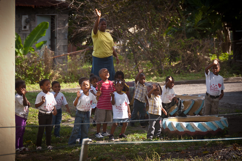
I'll leave you with a lovely shot of some local school kids who came out to greet the train. I hope you have enjoyed visiting these islands with me; I'll be back with a final post exploring inside the Maasdam before embarking on my European cruise next week!
No comments:
Post a Comment