
Above: Panorama of the capital city Willemstad, divided into two neighbourhoods (Otrobanda on the right and Punda on the left) by the canal.
The Country of Curaçao which includes the main island plus the small, uninhabited island of Klein Curaçao, is a constituent country of the Kingdom of the Netherlands. Curaçao is the largest and most populous of the three ABC islands (Aruba, Bonaire, and Curaçao) of the Lesser Antilles. It has a land area of 171 square miles and a population of about 140,000.
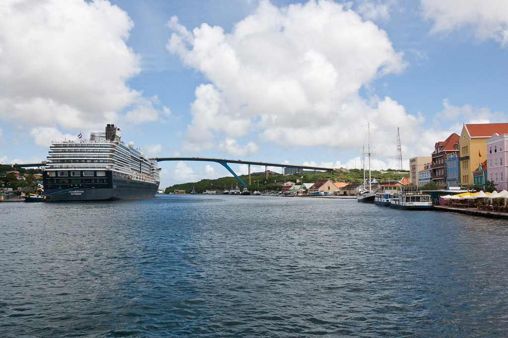
Above: The view of the Zuiderdam docked on the Otrobanda side of Willemstad with the Queen Juliana Bridge in the background.
Dissolution of the Netherlands Antilles was effected on 10 October 2010 and Curaçao is now a country within the Kingdom of the Netherlands, with the Kingdom retaining responsibility for defence and foreign policy.
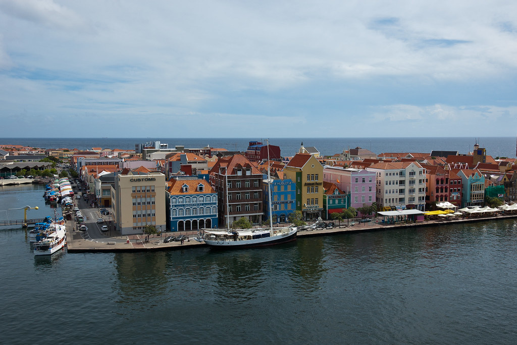
Above: Dutch architecture along Willemstad's Punda side.
The first Europeans to see Curaçao were members of a Spanish expedition in 1499 who enslaved most of the indigenous population. The island was occupied by the Dutch in 1634. The slave trade made the island affluent, and led to the construction of impressive colonial buildings:
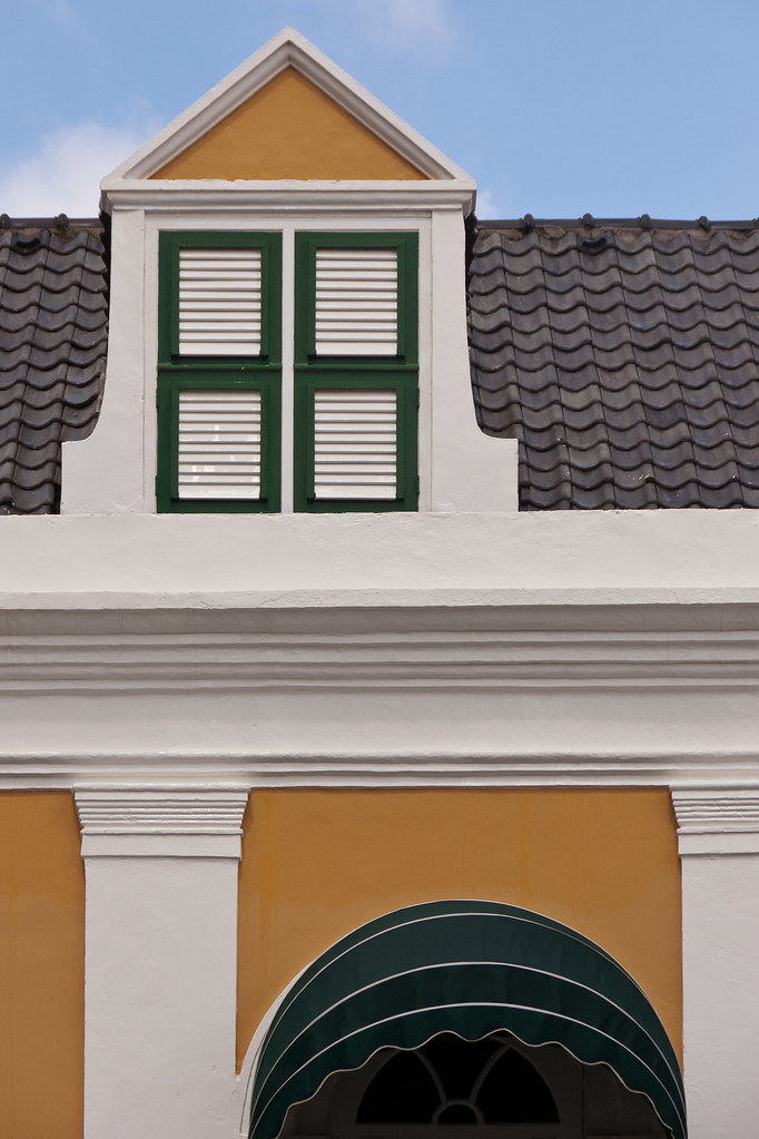
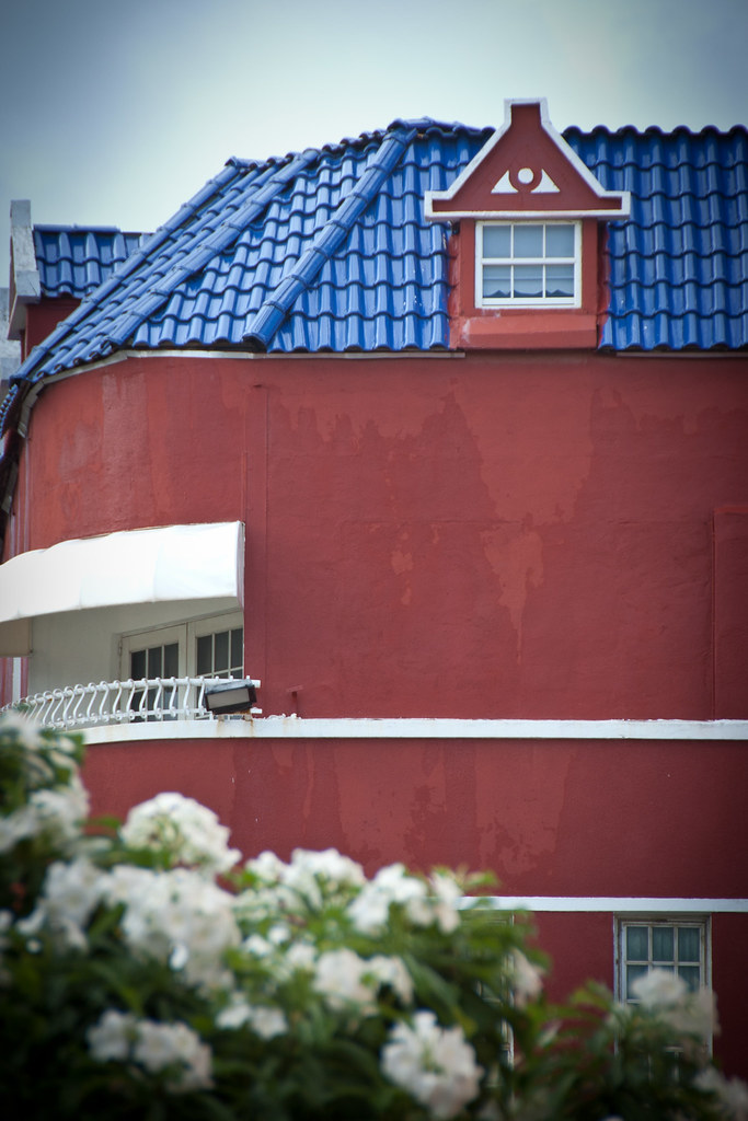
Curaçao features architecture that blends Dutch and Spanish colonial styles. The wide range of historic buildings in and around Willemstad earned the capital a place on UNESCO's world heritage list.
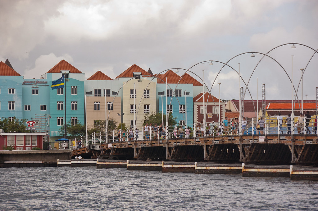
Above: The Queen Emma Pontoon Bridge is a pedestrian swing bridge which rests on 16 pontoons and is known as the 'Swinging Old Lady'.
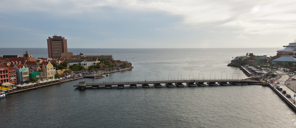
Above: A shot of the Queen Emma Bridge opening as we prepared to leave Willemstad.
Other attractions in Willemstad include the three forts - Rif Fort, Waterfort and Fort Amsterdam which still houses the Governor's Palace, the Floating Market and the oldest Synagogue in continuous use in the Western Hemisphere.
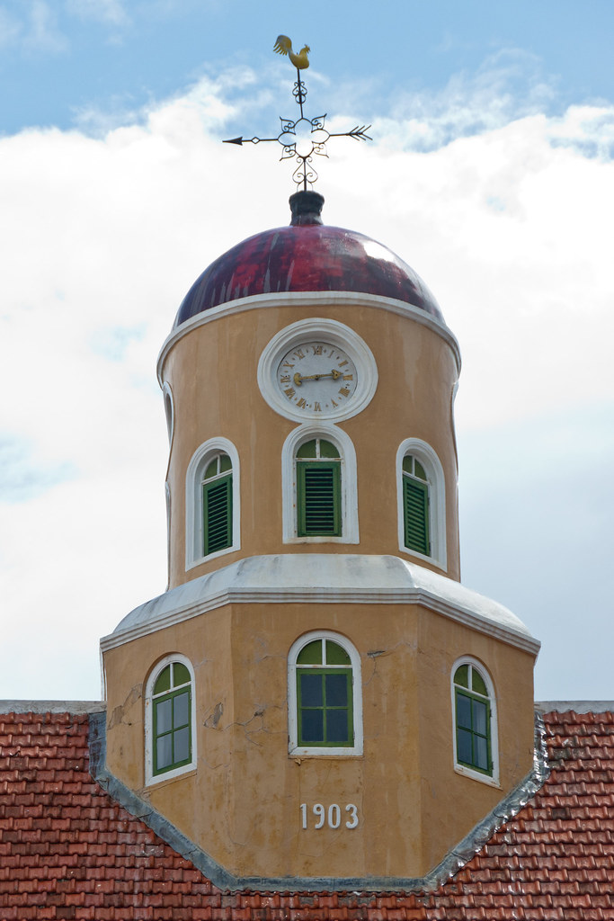
Above: Fort Church located in Fort Amsterdam.
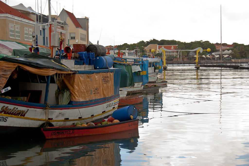
Above: Local boats tie up alongside those from South America and other West Indian islands at the Floating Market.
Landhouses (former plantation estates) and West African style "kas di pal'i maishi" (former slave dwellings) are scattered all over the island and I visited one on a passenger shore excursion. Whilst there, we took a 4x4 ride around the surrounding countryside.
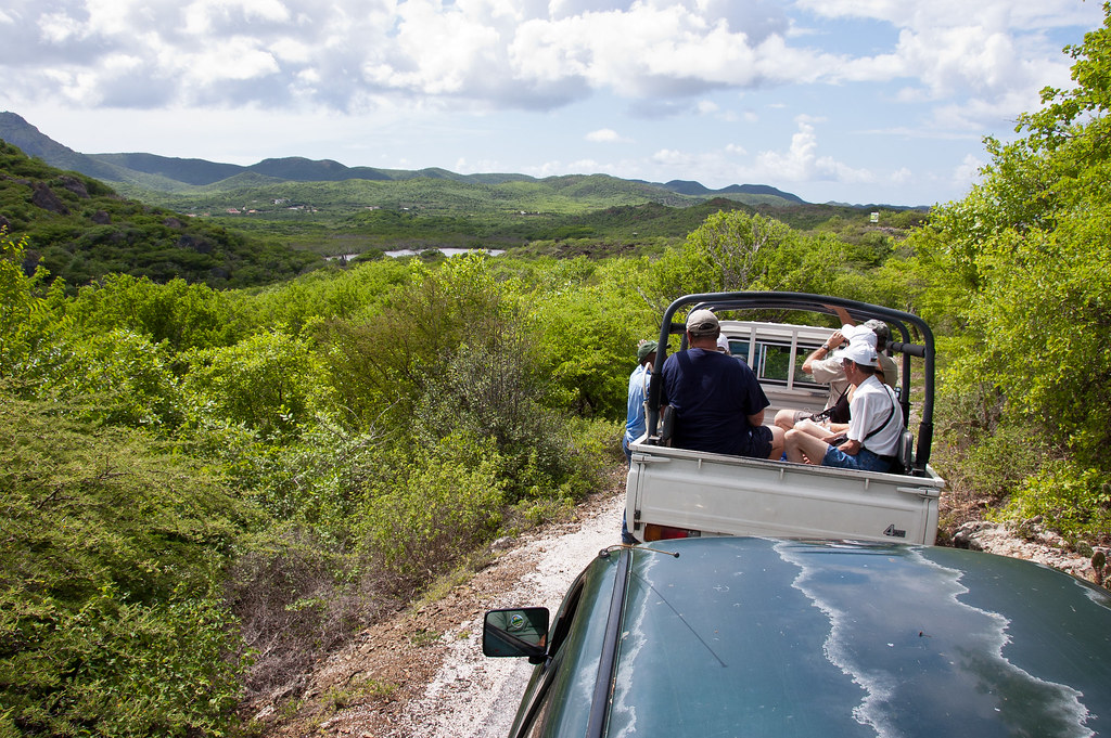
Above: The 4x4 ride with the plantation estate in the background.
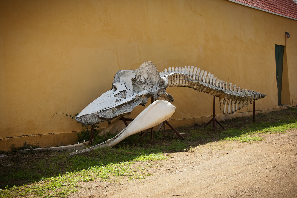
Above: A sperm whale carcass at the ranch!
Whilst in Curaçao I also visited an Ostrich farm, where Ostriches are farmed for their meat and eggs!
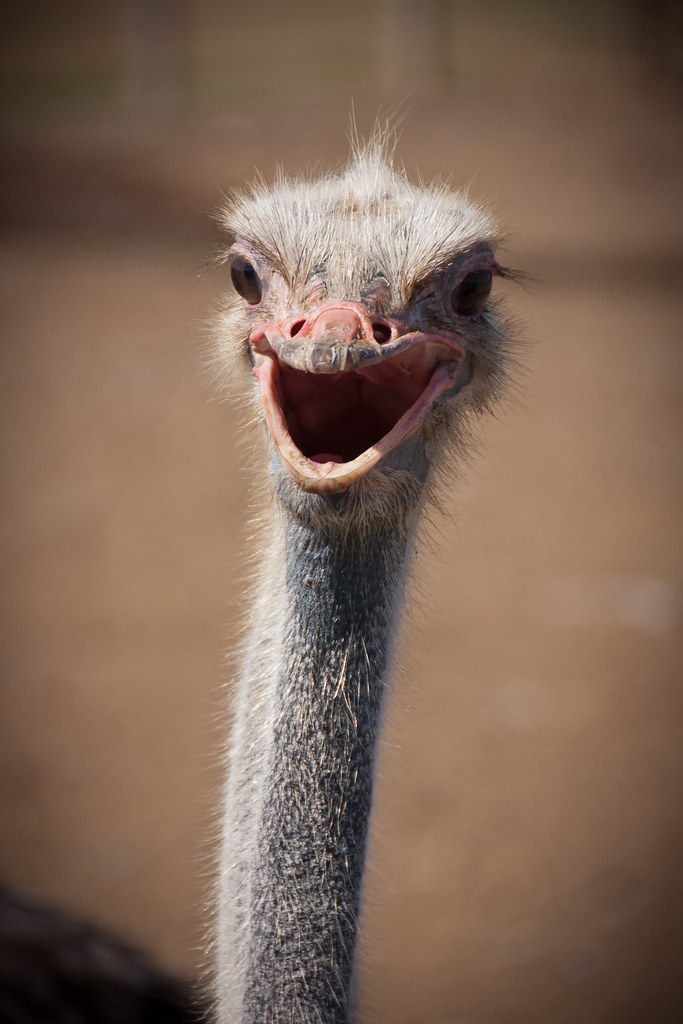
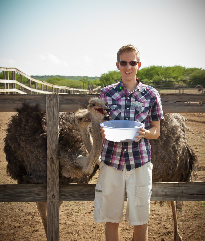
Above: Me feeding the ostriches.
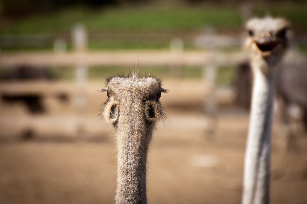
Above: A rear view of an ostrich. Those holes are their ears!

Above: Baby ostriches
On the same trip as the Ostrich farm, we visited an Aloe plantation nearby where Aloe Vera products are produced.

Above: Aloe plants at the aloe farm.
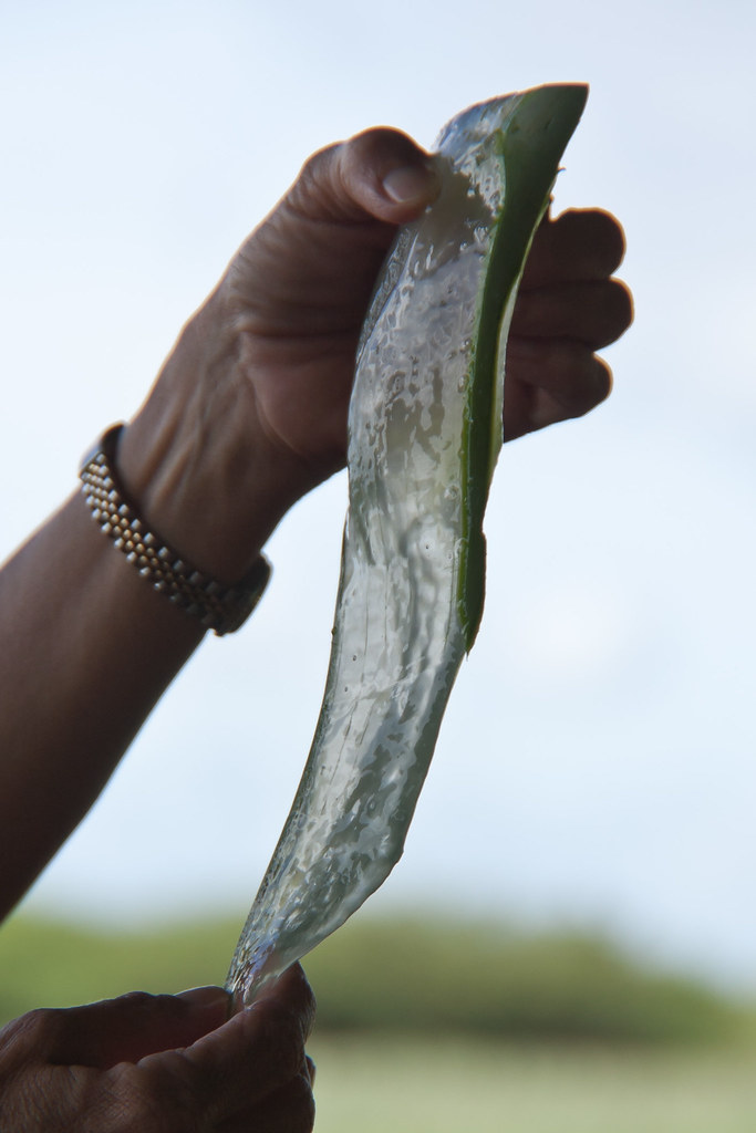
Above: Our guide sliced up an aloe leaf and gave us a piece each.
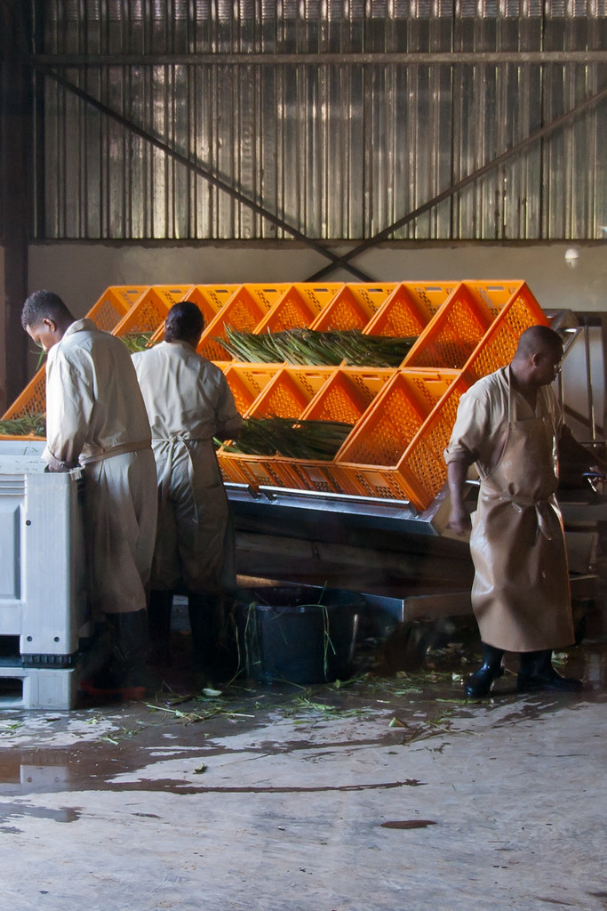
Above: Sorting the aloe plants at the factory.
Curaçao has a semiarid climate with a dry season from January to September and a wet season from October to December - all the times I have visited so far, it has rained very hard for short periods. However, the temperatures are relatively constant (i.e. hot) with small differences throughout the year.
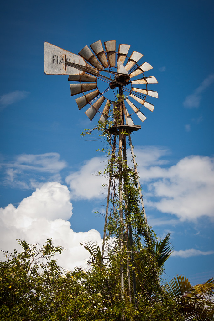
Above: Windmills like these were used to get drinking water before processing plants were created.
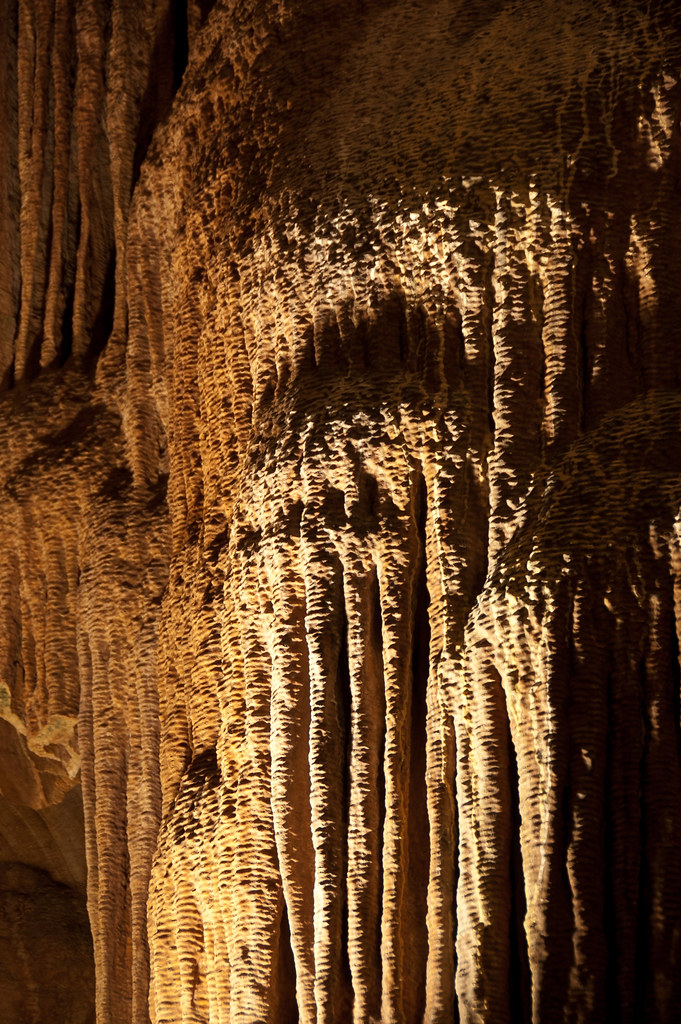
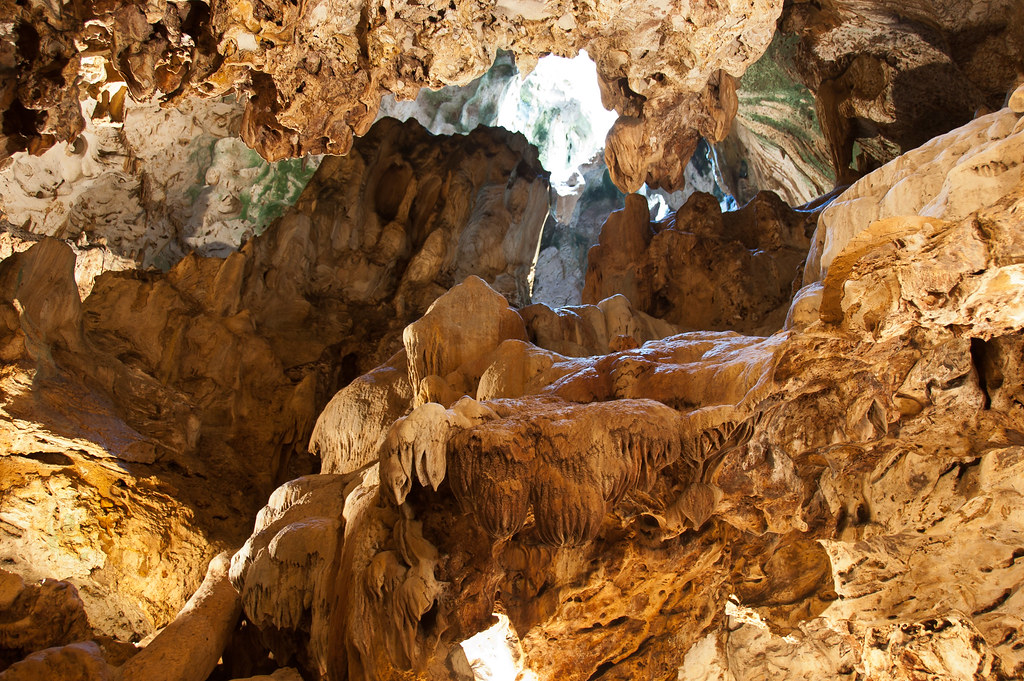
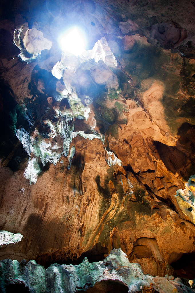
My last trip in Curaçao was one to the caves! These caves are located above ground, and so are very hot - not cool! And there were plenty of bats in there too.
An interesting fact about the languages spoken: Local children speak the native Papiamentu at home, are taught at school in Dutch and later learn English and Spanish. By 11 years old, many children can speak four languages!
I hope you enjoyed this lengthy look at Curaçao. I'll be back soon with more Caribbean ports!

No comments:
Post a Comment